
Fuerteventura – the Wild and Surreal Canary Island

Subscribe to continue reading
Subscribe to get access to the rest of this post and other subscriber-only content.
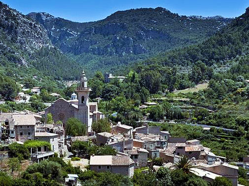
Discover Mallorca’s Tramuntana
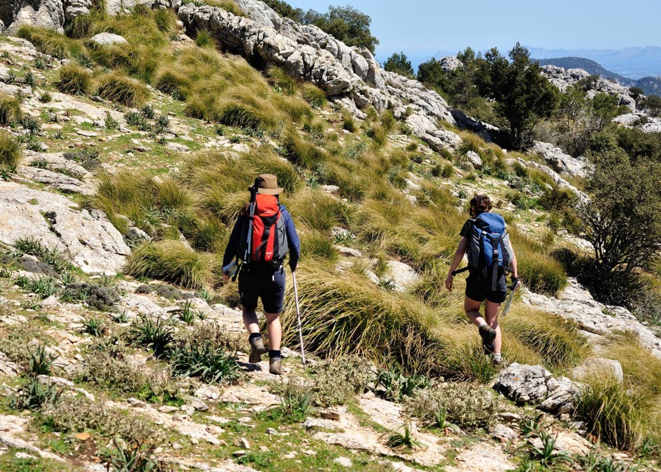
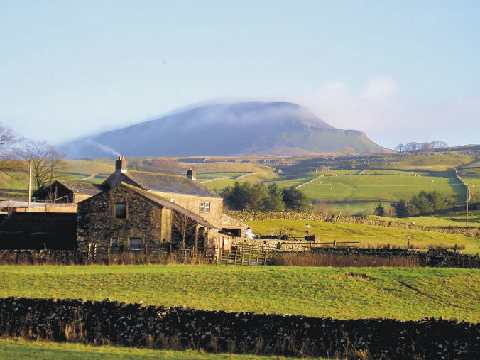
Mallorca’s mighty Tramuntana mountain range offers a wealth of walking adventures, with easy strolls all the way to challenging hikes for experienced walkers.
To get the best out of a trip to the Tramuntanas, a large scale and up-to-date map is essential. The best maps you will find are published by Discovery Walking Guides, who have just released two large scale maps to cover the North Tramuntana and the South Tramuntana.
Mallorca – Tramuntana North Tour & Trail Map
ISBN: 9781782750895
960mm by 694mm
1:30,000 scale
(Price held at £10.99)
The map section below shows the area covered by the north map.
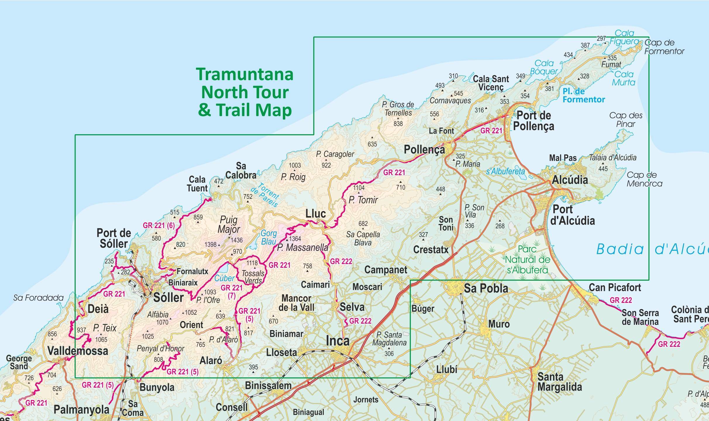
This double sided map sheet covers the northern half of Serra de Tramuntana at 1:30,000 scale.
This map covers a continuous area from Tramuntana’s northern-most Cap de Formentor, including all the coastal resorts such as Port de Pollença and Port d’Alcúdia, all the way to Sóller and Deià at the opposite end of the map (for the area from Sóller further due south-west to Magaluf, Peguera and Port d’Andratx, see our second title: Mallorca – Tramuntana South Tour & Trail Map).
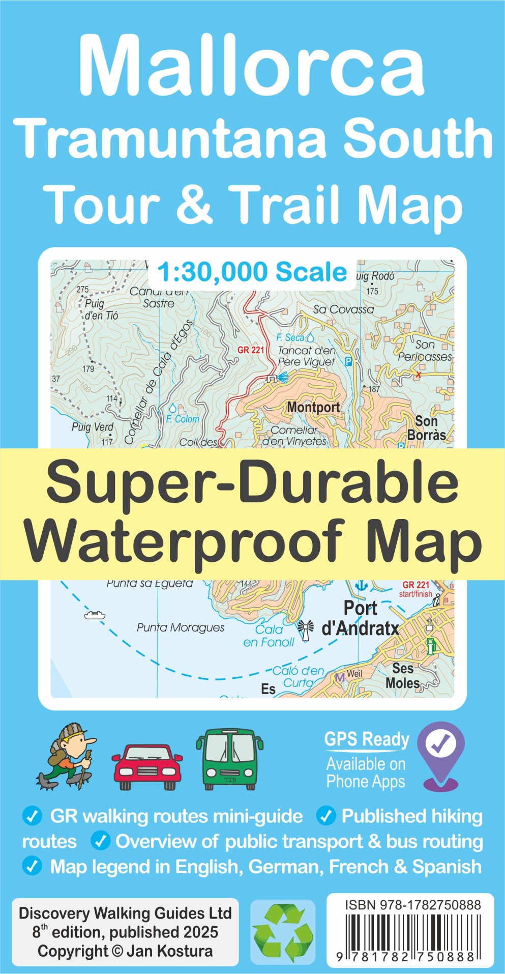
Mallorca – Tramuntana South Tour & Trail Map
ISBN: 9781782750888
960mm by 694mm
1:30,000 scale
(Price held at £10.99)
The map section below shows the coverage of the south map.
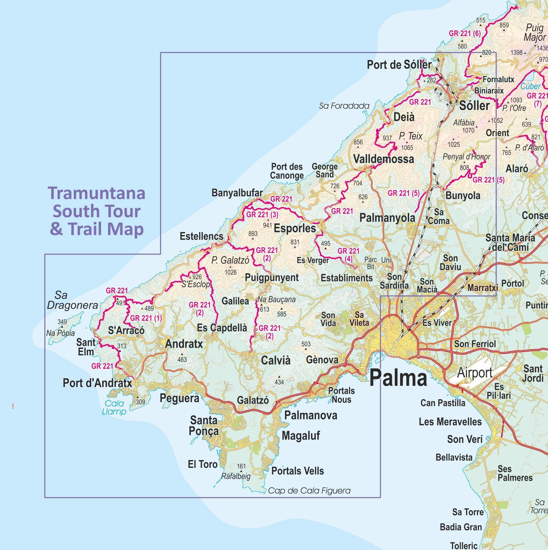
This double sided map sheet covers the southern half of Serra de Tramuntana at 1:30,000 scale.
Covering a continuous area from Tramuntana’s southern-most point Cap de Cala Figuera, this map includes all the coastal resorts such as Magaluf, Santa Ponça and Peguera, with Port d’Andratx and Sa Dragonera islet also covered, all the way to Sóller and Port de Sóller at the opposite end of the map (for the area from Sóller further due north-east to Pollença and Cap de Formentor, see our second title: Mallorca – Tramuntana North Tour & Trail Map).
What’s included?
- GR 221 long-distance route is specially highlighted in the map (red), with a boxed mini-guide to the GR 221 and GR 222, summarizing the most important aspects of the main route, its variants and accommodation.
- Highlighted in the map (green) are also published walking routes by Sunflower and Rother, helping you identify routes that are open to walkers, on an island where private properties along trails may sometimes pose a challenge to hikers.
- Also included is a small dictionary or frequently used Catalan words appearing in the map.
- The legendary ‘Tour & Trail’ level of detail ranges from railways, motorways, main roads, secondary roads, minor roads, streets and narrow country lanes, dirt tracks to walking trails and faint/difficult paths.
- Altitude shading is designed to clearly show the altitude range when travelling across the island by car, bus, or on foot. 20-metre and 100-metre contours combined with the altitude shading bring this beautiful landscape to life.
- There are plenty of individual height points and all of the official ‘Trig’ points are on the map. Tour & Trail attention to detail includes our useful symbol range such as viewpoints, picnic areas, petrol stations, bar/restaurants and parking areas where you can pull off the road safely. You will easily identify springs, caves, sports grounds, museums, churches, chapels, crosses, cemeteries, lighthouses, forts, wind turbines, windmills, hotels and tourist attractions. It all adds up to the most detailed and most durable map of Mallorca’s Tramuntana North that you can get.
- The guide to Mallorca’s public transport will help you get oriented with the various service providers that operate buses, trains, metro and tram, to make the most of your adventures. Bus stops along with actual bus numbers are then highlighted in the map to help you see where each bus runs. Those relying on a hire car will appreciate kilometre markers plotted each kilometre in the map on most roads, aiding you track progress and show where you are. Symbols indicate features such as viewpoints, picnic areas, petrol stations, bar/restaurants and parking areas where you can pull off the road safely. You will easily identify springs, caves, sports grounds, museums, churches, chapels, crosses, cemeteries, lighthouses, forts, wind turbines, windmills, hotels and tourist attractions.


Maps are available through all booksellers, online and in your high street.
Lanzarote? Don’t leave home without your map.


Lanzarote Tour & Trail Map (6th edition)
ISBN: 9781782750871
Price: unchanged at £10.99
Some Key Features:
- 1:40,000 scale
- Detailed updating for the 2nd edition includes mapping Puerto del Carmen’s new golf course and inner bypass, Playa Blanca’s urban/incomplete development, new walking routes, as well as all country routes from Walk! Lanzarote guide book.
- A full island map of La Graciosa at 1:40,000 scale for those people adventuring or staying on the island.
- Digital editions of this map are available for use on mobile phone apps from Viewranger, Memory Map and MyTrails, plus versions for mapping gps units and gps software are available from Mapyx Quo and Memory Map.
- This map is Super-Durable, meaning it is produced on a special polymer substrate (Polyart) using 100% oxygenation inks, resulting in a map that is virtually tear proof, water proof, baby proof, almost dog proof and will outlast any paper map many times over.
Lanzarote Tour & Trail Map (6th edition) ISBN: 9781782750871


Lanzarote Tour & Trail Map (6th edition) ISBN: 9781782750871
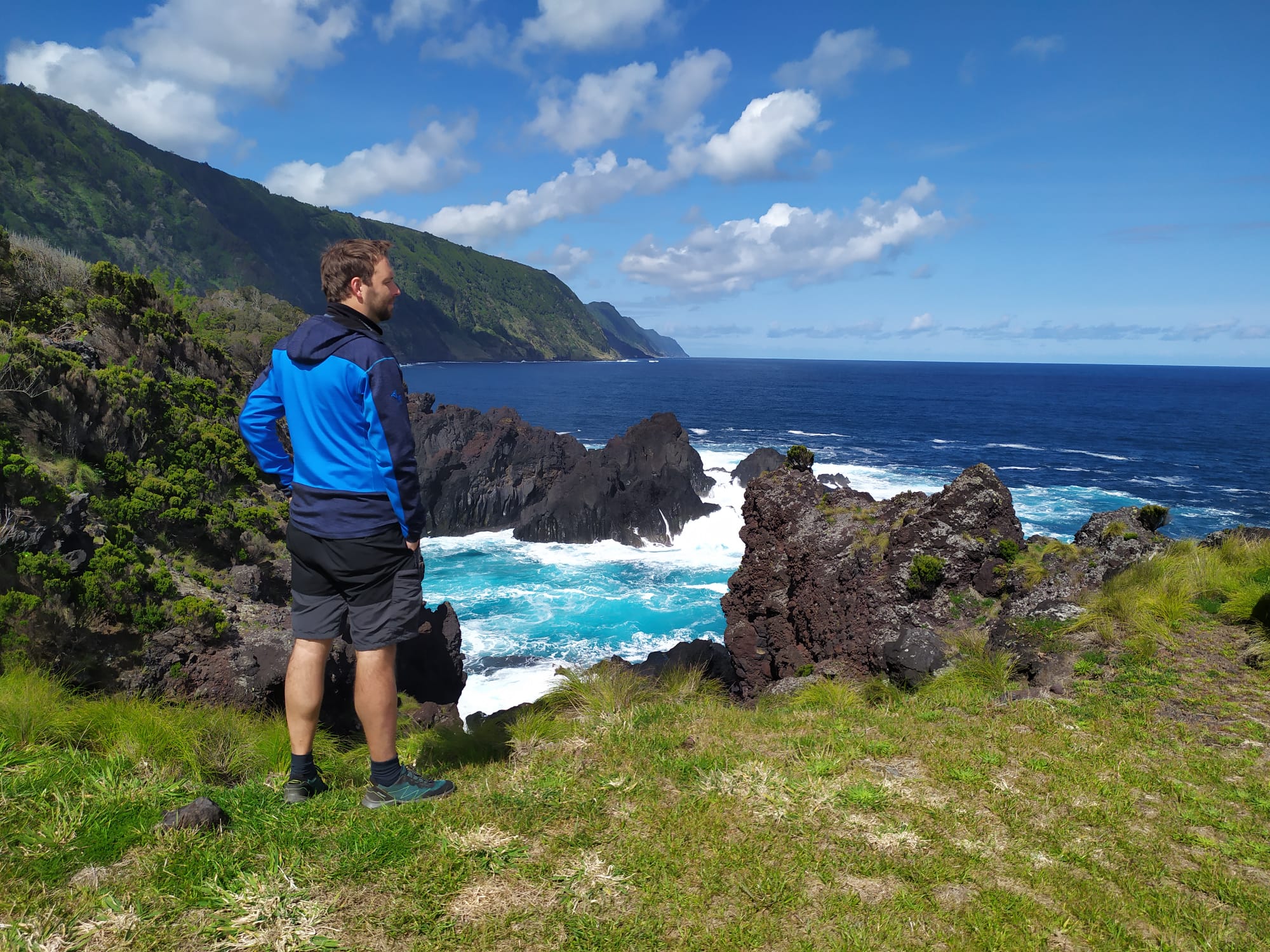
The Azores Islands – good to visit now!
The Azores (a region of Portugal) are a group of nine volcanic islands in the North Atlantic Ocean, offering a gentle climate and unforgettable landscapes. If you are a walker or simply a visitor who wants to drink in the sights, these unique islands will not disappoint.
The islands are divided into three groups:-
The Eastern Group (Grupo Oriental) of São Miguel, Santa Maria and Formigas Islets
The Central Group (Grupo Central) of Terceira, Graciosa, São Jorge, Pico and Faial
The Western Group (Grupo Ocidental) of Flores and Corvo.

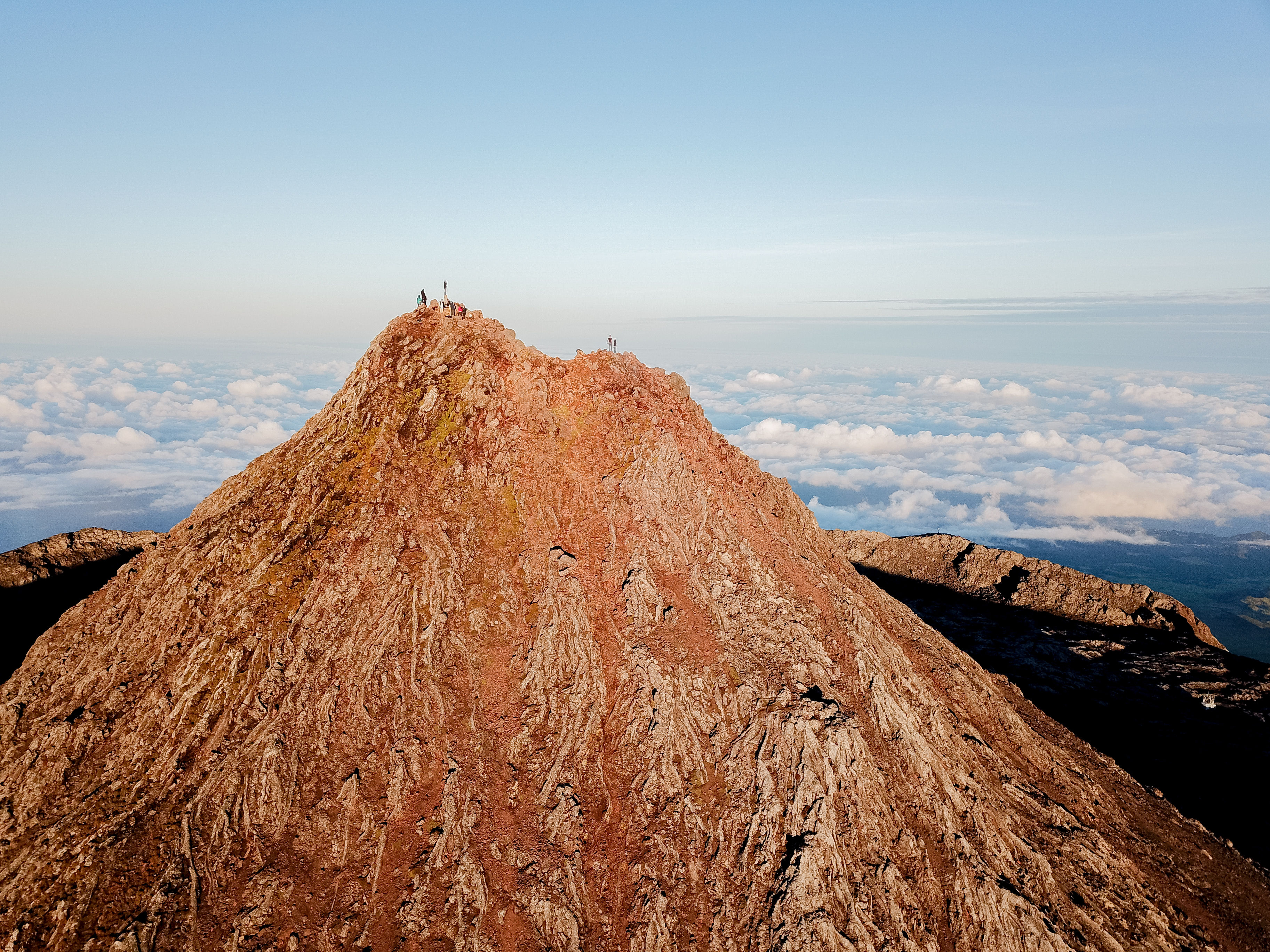
For mountain lovers, you’ll find Mount Pico, on the island of Pico, the highest point in Portugal, at 2,351 m There are many other impressive peaks to be discovered.
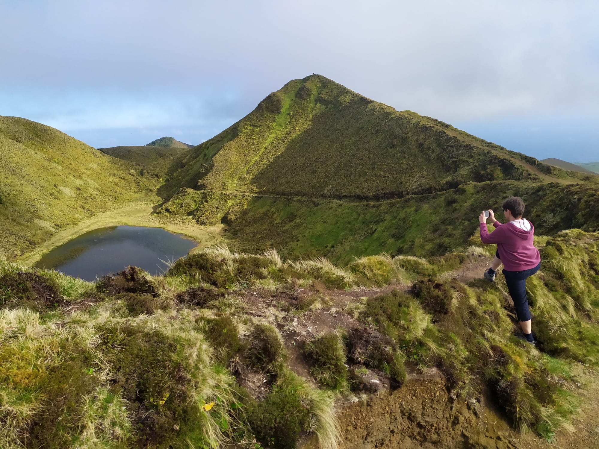
There’s a wealth of walking trails to be followed, enhanced by wonderful views and flourishing unique endemic plant life.

The largest of the islands is São Miguel, where ancient laurel forests and a wealth of endemic flora thrive. The landscape on all the islands is rugged, with extreme peaks; lakes hide in volcanic craters and hot springs confirm the islands’ volcanic geology.
Tempted to visit? Before you go, why not plan your adventures. You will need a detailed, up to date map. If you want to do any walking on the islands, you need a map that clearly shows the walking trails.
We recommend Azores Tour & Trail Map from Discovery Walking Guides. ISBN 9781782750857
Yorkshire 3 Peaks – Up For a Challenge?

It’s no surprise that tackling challenge routes has become more and more popular. The Yorkshire 3 Peaks Challenge is deservedly one of the most walked. The usual Challenge starting points are the Pen Y Ghent Cafe (Horton), Station Inn (Ribblehead) and the Hill Inn (Chapel-le-Dale), in the Pennines of Northern England.

The distance of approximately 39.2km (24.5 miles) takes about 12 hours to walk, though this of course depends on factors such as fitness, conditions and how much you want to push yourself. It’s a good idea to tackle the challenge in the summer months; June has the longest daylight hours.


You need a good, large scale, clear map and this new one is the best there is. OSlike mapping at a large25k scale with plenty of additional information including getting to the walk locations and deciding where to start with clearly marked routes and waypoints. There are descriptions of each stage of the challenge, so you know what to expect. It’s printed on lightweight yet tough, waterproof material which canbe re-folded as many times as you like. For more detail see HERE.

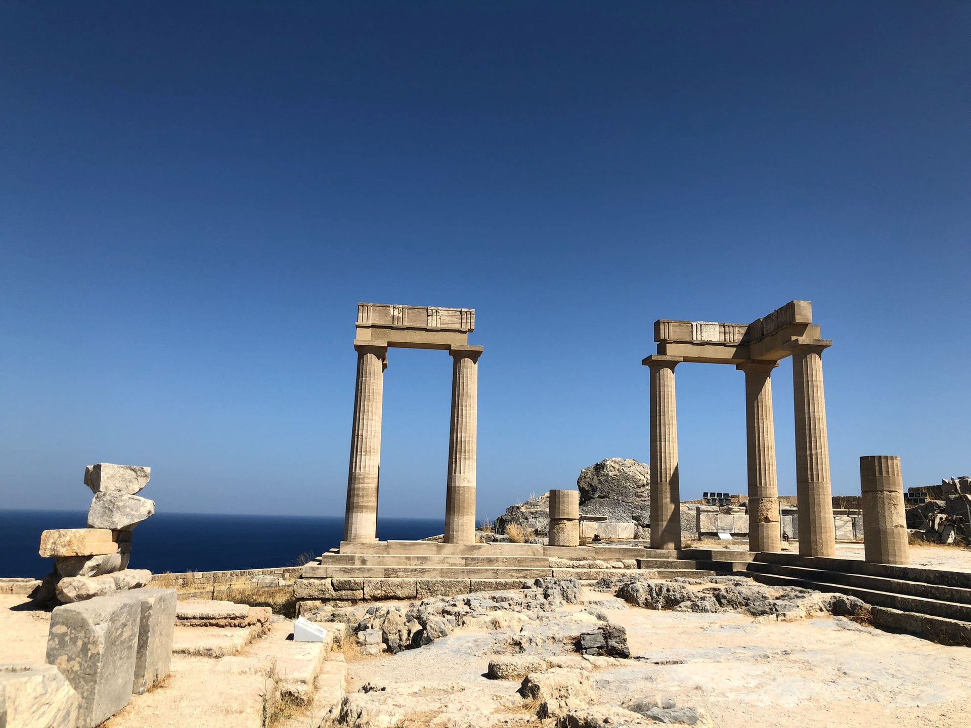
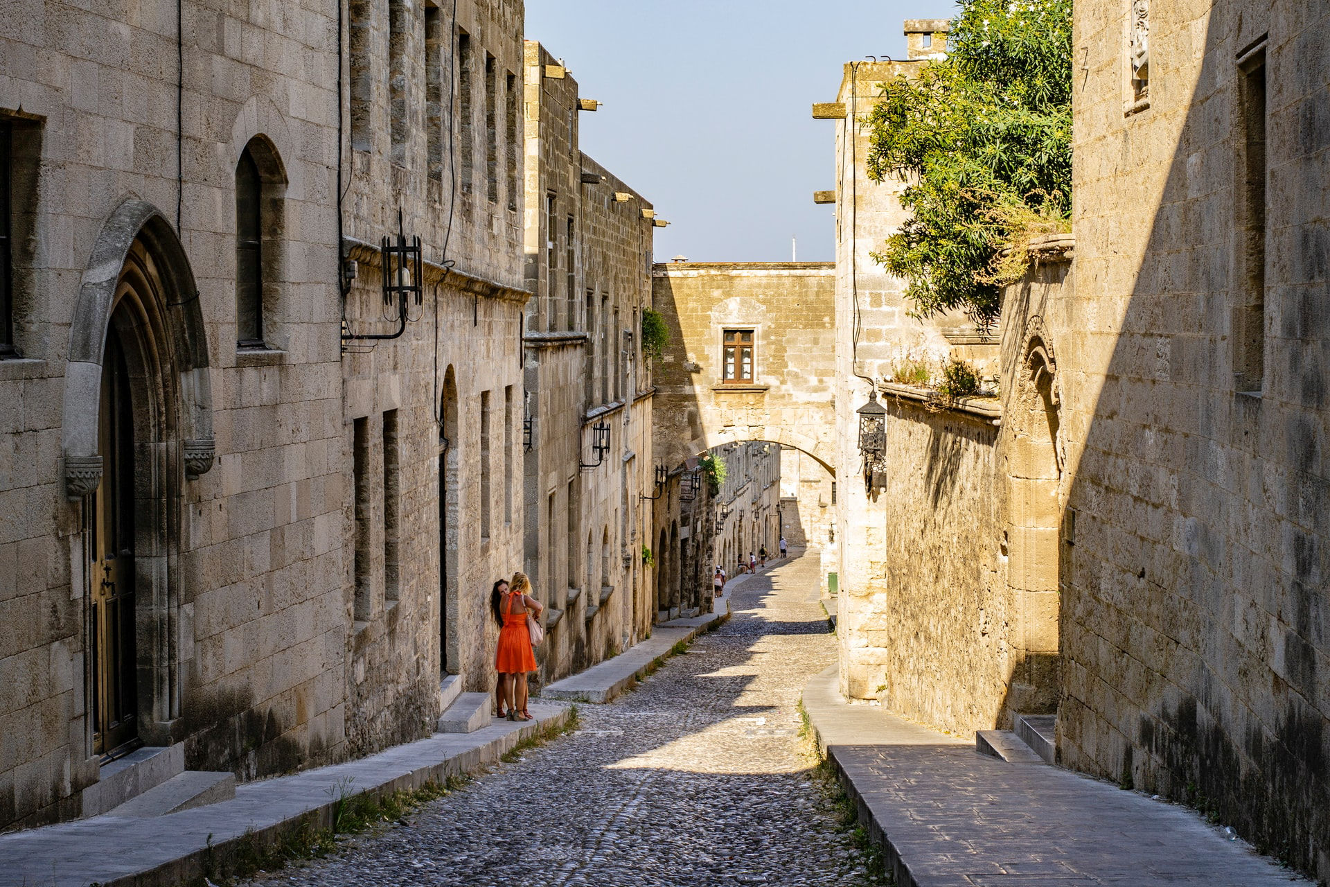
Rhodes – beaches, history and walking
At the time of writing, travel restrictions to Greece have disappeared, making it easy to visit. If you are into islands, sunshine, great beaches, ancient history, beautiful countryside and flora, and white villages clinging to hillsides, you’ll be in seventh heaven.
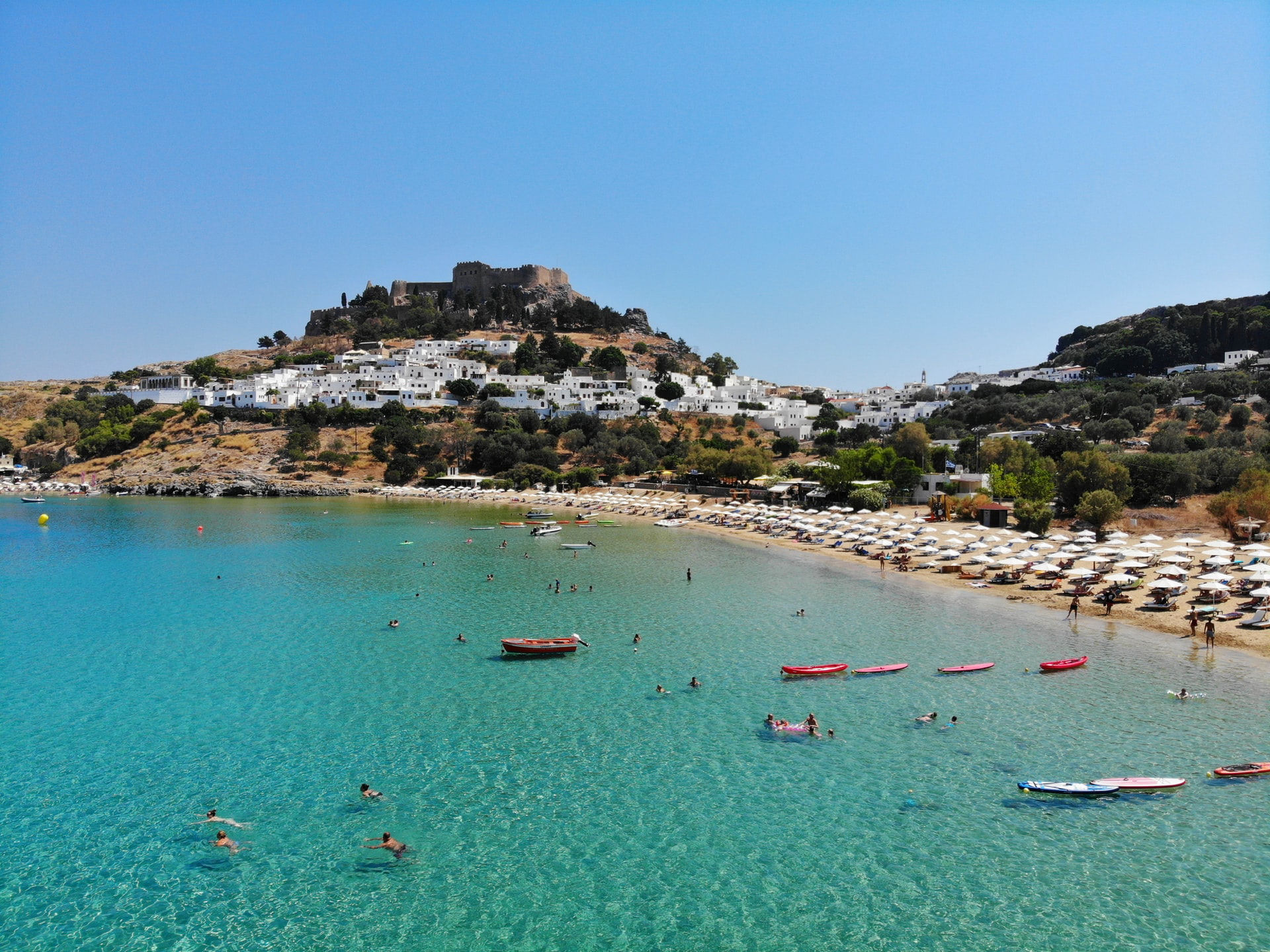
The best way to experience this island (79.7 km x 38 km) is to walk. There are so many lovely trails, some ideal for a short relaxed stroll, others ideal for a half day or full day out.
Spring is the best time to visit Rhodes, especially if you plan to walk. The island is green and the temperatures perfect.
Your adventures on Rhodes will be most rewarding with the aid of a really good map for planning your walks. Discovery Walking Guides’ Rhodes Tour & Trail Super-Durable Map is clear, up to date and highly detailed.
Perhaps you’ve never considered the island of Rhodes for a walking holiday destination, so you might be surprised to know that there are almost one hundred (actually, 98) walking routes, with descriptions and a map for each walk, in the Rhodes Compendium of Walking Adventures.
The Rhodes Compendium of Walking Adventures is available as a digital edition which means you can carry it with you on your phone to guide you when you’re out and about on the island.

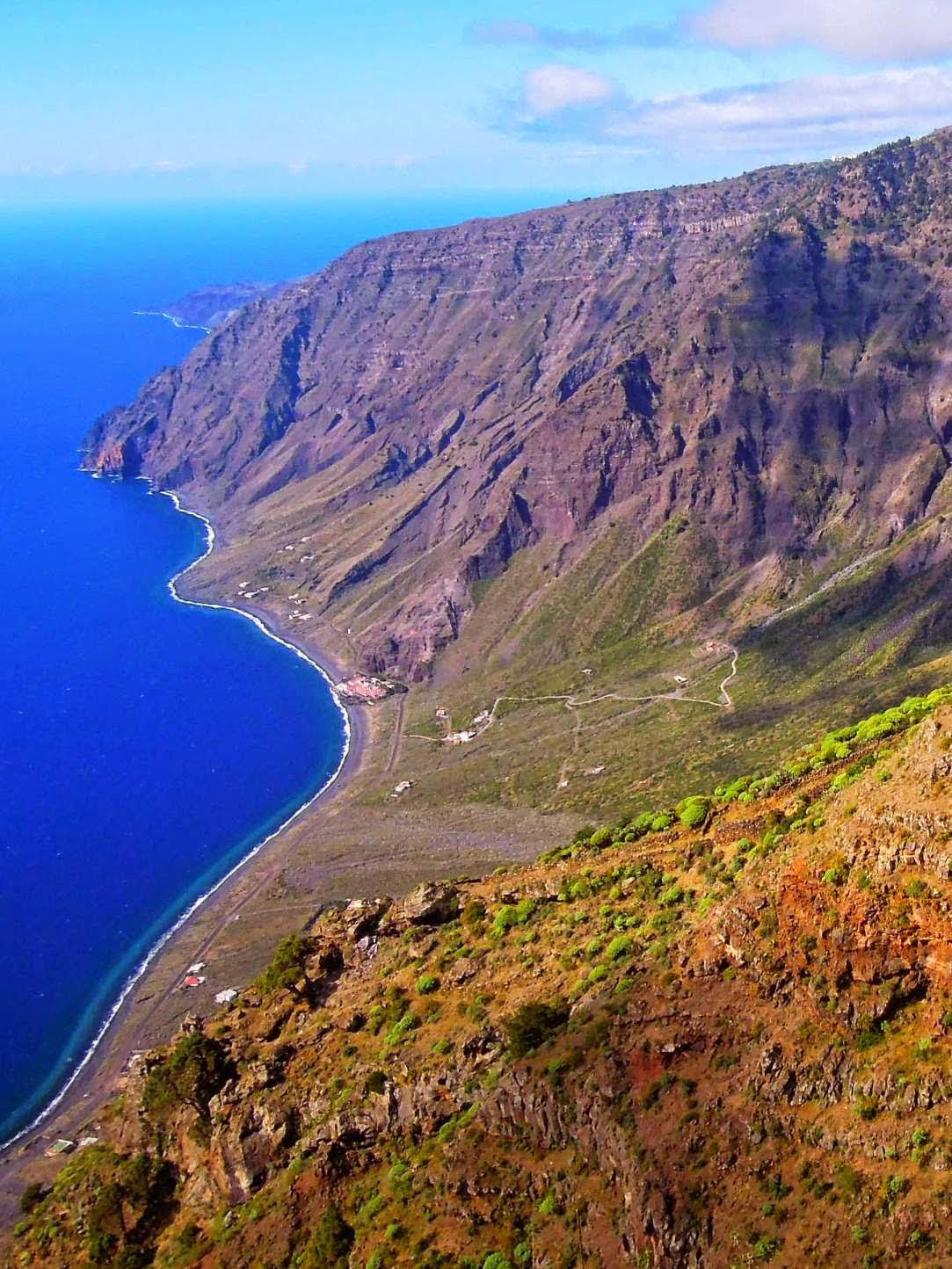
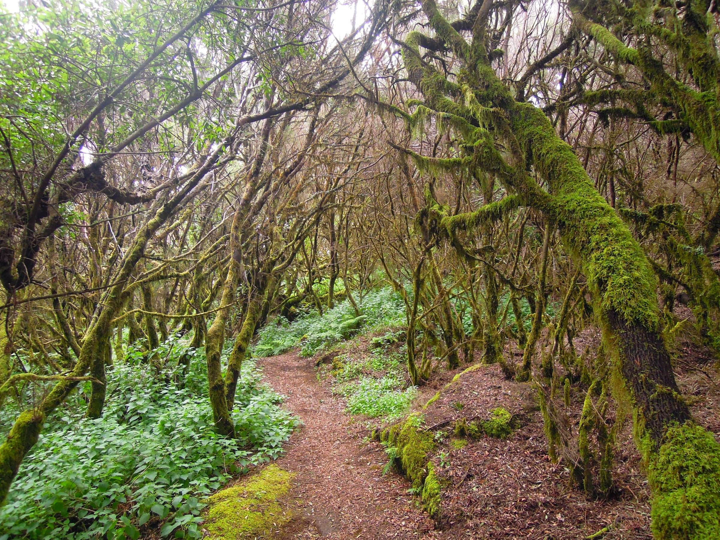
El Hierro? Where’s That?

El Hierro is small, unique and unforgettable. It’s the most westerly of the Canary Islands in the Atlantic Ocean, for centuries thought to be the westernmost point of the known world – until Columbus went further west to the Americas. He stopped off here to gather supplies before making his second voyage to the Americas.
El Hierro’s Punta de Orchilla was the original prime meridian of 0º established by Egyptian astronomer, mathematician and scientist Ptolemy (born c. 100 ce—died c. 170 ce). It remained earth’s prime meridian for over 200 years until 1884 when an international conference voted to move it to Greenwich, England.
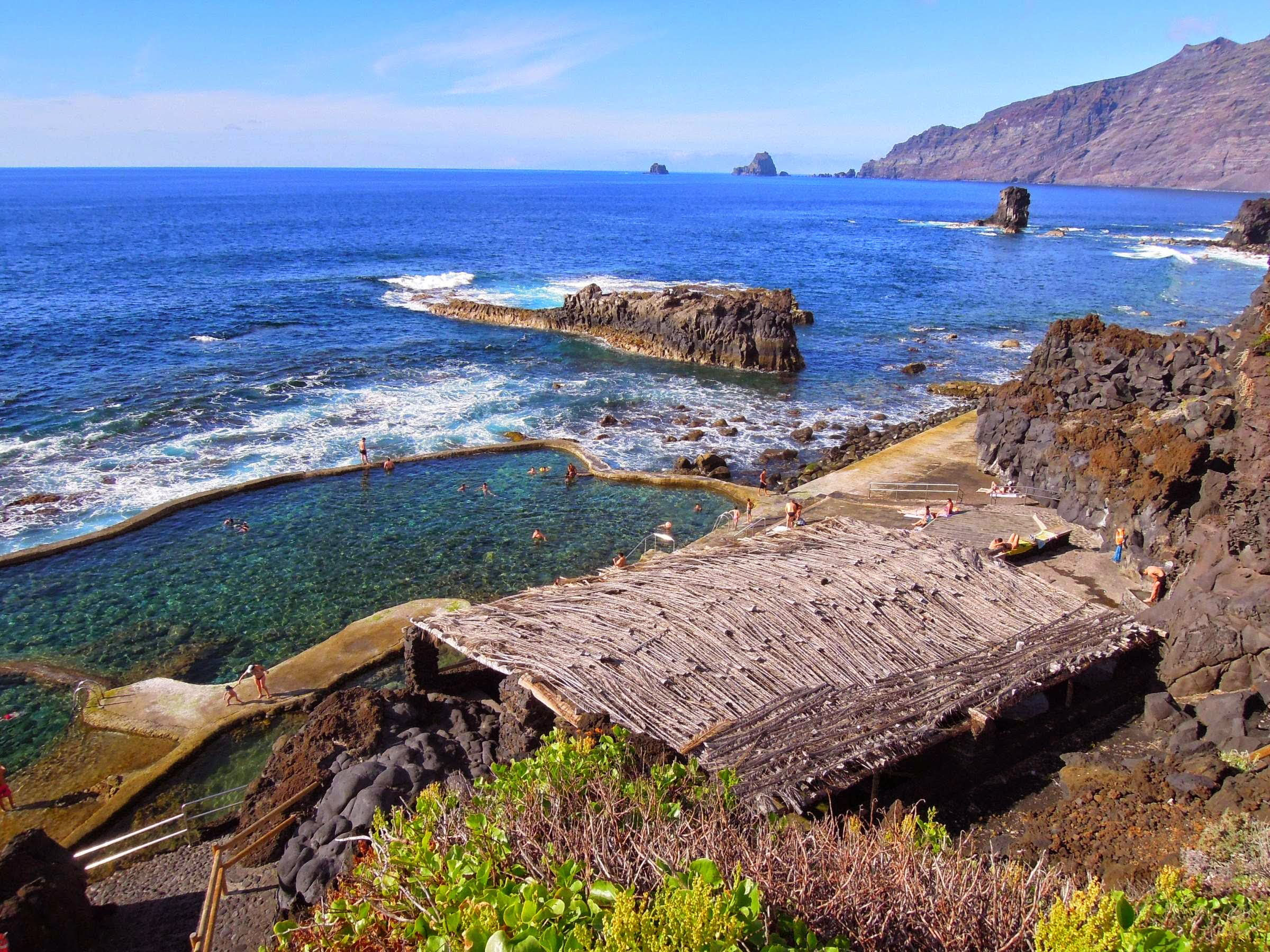
El Hierro has only around 10,000 inhabitants and modest numbers of visitors. It’s small but offers a wide variety of landscapes from rocky cliffs to green meadows, hamlets and farms to ancient gnarled forests. You can hire a car, walk, bike or hire a taxista or explore by public bus at pocket-money prices. For all the travel information once you’re on the island see http://www.transhierro.com/

If you have already travelled to Tenerife you can either fly to the tiny capital of Valverde in 40 minutes, or ferry in about 2-3 hours. There are also flights from Gran Canaria (approx. 55 minutes).

El Hierro may be a small island, yet it has developed its own character and cuisine. They make excellent cheeses, wines and local specialties.
The island is in the forefront of using renewable energy sources. obtained from inexhaustible natural resources such as wind or waterfalls. A combination of hydro and wind energy at the Gorona del Viento Power Plant supplies a sizeable proportion of the island’s energy needs.

There’s a good website with plenty of useful and inspiring information:
https://elhierro.travel/en/information/
If you’re tempted to visit, we suggest a really detailed and up to date map from Discovery Walking Guides
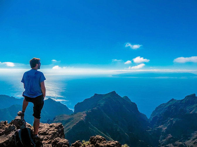
Ready For Some Tenerife Sunshine?

Cold enough for you yet? Are you already tired of the short, dark winter days? How about Tenerife? About four and a half hours’ flight from the UK and western Europe could see you in the picture; big, impossibly blue skies, clear seas and everything from beaches, shopping, walking and snow-capped mountains (including Mount Teide, Spain’s highest point).

Typical temperatures in winter reach the low 20s centigrade, with an average of 6 hours of wonderful sunshine a day. Hike the trails, climb a mountain, laze around a pool or relax with a cerveza watching the sun slip into the dark blue Atlantic.


Leave the coastal resorts behind and explore the small towns, villages and hamlets. Car hire is good value, or use the local buses for a more relaxing adventure.
It’s well worth taking a good guidebook, detailed walking map and a bus map with you to get the most value and fun out of your adventures. See HERE for more information.
The Isle of Wight Walking Festival
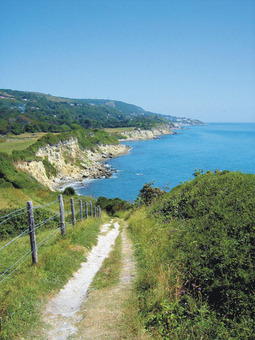
This wonderful festival had to be cancelled in 2020. The 2021 date was postponed – and now, the Isle of Wight Walking Festival is back! Held later than usual (from 09 October to 22 October 2021) it should make for an interesting experience for walkers. If you’ve been before, when the festival has typically been held in May, then you’ll enjoy your favourite walks and views in the glow of autumn colours this year.

Find all the information you need on the official website HERE.

Make sure you get the most out of your visit with a really good walking map. This one from Discovery Walking Guides is ideal; large scale, clear and waterproof tto. All routes are clearly marked and easy to follow. See the details HERE.


Malta, Gozo (and Comino) get the green light!

Great news! Last night (24 June 2021) the UK Government moved Malta to the green list for travellers from England. You’re free to go! Malta and sister island Gozo offer a wealth of experiences. The tiny limestone islet & bird sanctuary of Comino sits between them and is home to Blue Lagoon bay; there’s also a 17th century tower & chapel. The climate is kind and there’s plenty of walking adventures to explore.
The islands are rich in history (there are three UNESCO World Heritage Sites), having been inhabited since around 5900 BC.

Many of the powers that ruled the islands, from the Phoenicians to the British, have left their marks, making the islands a living museum.
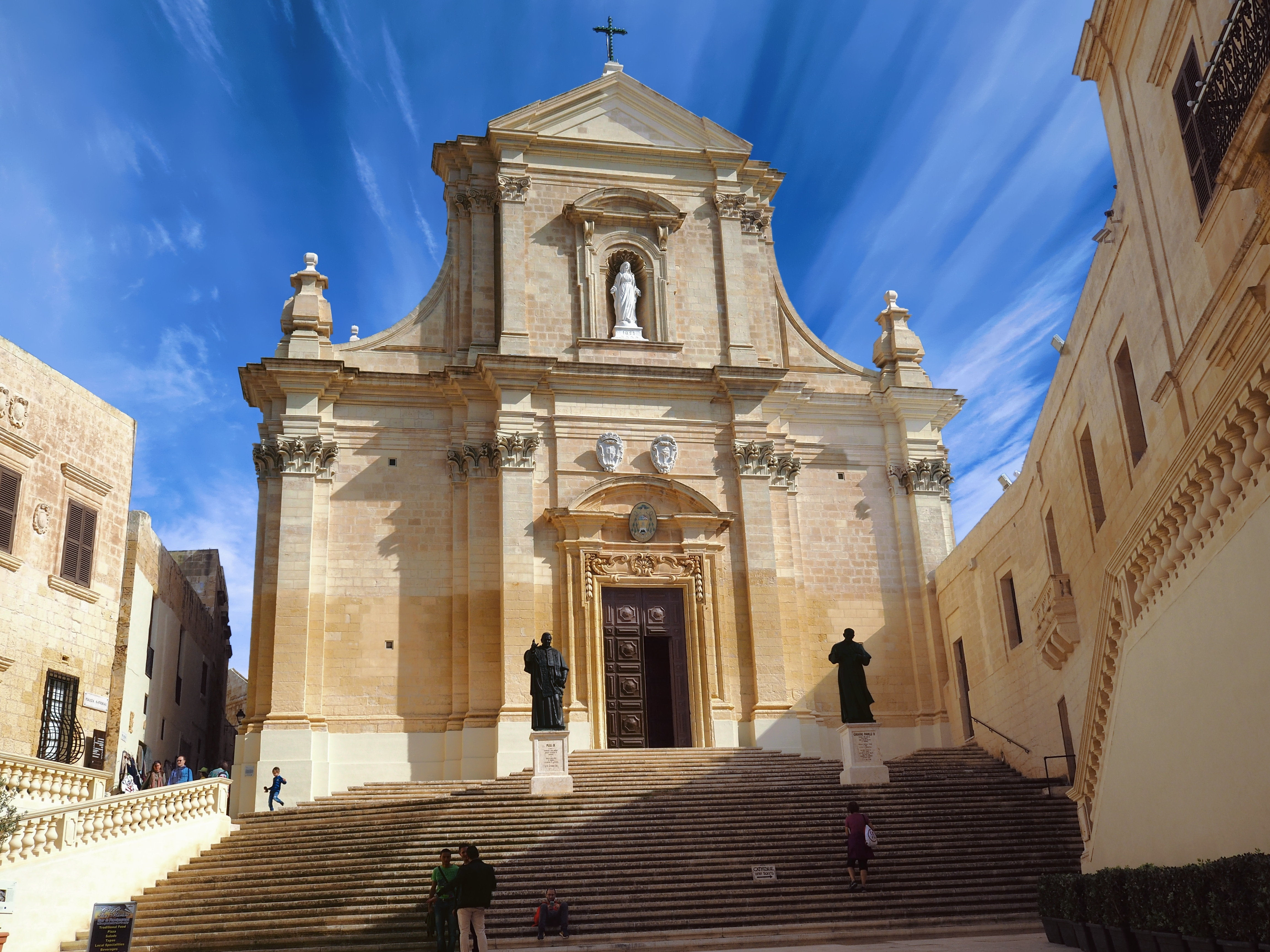
With unique flora, architecture and beaches, a visit to the islands (25 minutes ferry connection between Malta and Gozo) offers plenty to interest and fascinate.
Discovery Walking Guides have published their Malta & Gozo Tour & Trail Super-Durable Map, ideal for walkers, bikers, adventurers and visitors. The map is also available for use on some GPS devices; click here for details.
