
Another Challenge?
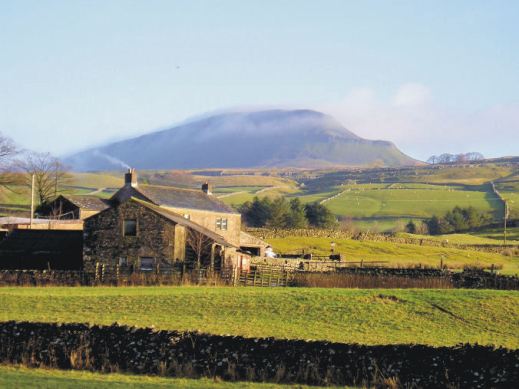
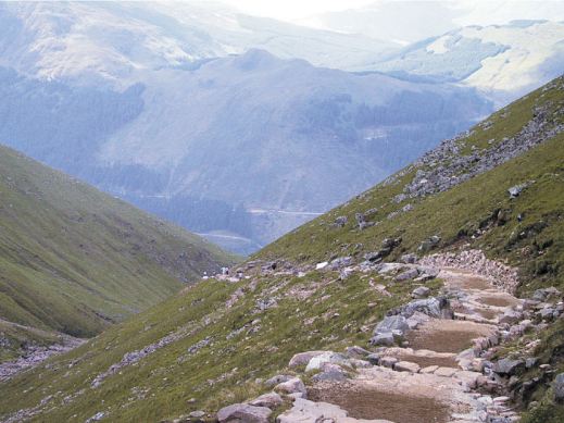
Challenge No.2 The Yorkshire 3 Peaks
Great Britain offers many opportunities for discovering the outdoors, from gentle strolls to big challenges. Here’s one of the big ones. You could plan to tackle the Yorkshire 3 Peaks yourself, or simply lose yourself in the experiences of others who’ve planned and completed the climbs and descents, following them step by step from your own armchair.

Key to success in completing the Challenge Routes in good time is planning, down to the finest details. It’s fascinating to find out how it’s done.

A good large scale map, rip-proof and waterproof is an essential tool. Find out about the most helpful ‘how to’ guide and the best map for the job here.

Heading towards Whernside
Pen y Ghent in the early morning

Our last peak – Pen y Ghent crags
Are You Up For A Challenge?
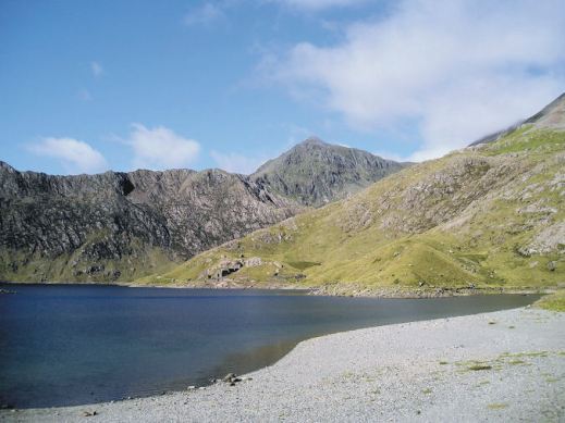
Challenge No.1 The National 3 Peaks
With the Christmas/New Year break coming up for many, why not plan to complete the National 3 Peaks Challenge. If that’s a bit too energetic, experience these iconic ascents and descents from your armchair. Here’s a few images to tempt you.
Find out how to plan your own Challenge. Get the best ‘how to’ advice from those who have completed it. Get the best, detailed up-to-date maps to keep you on track.

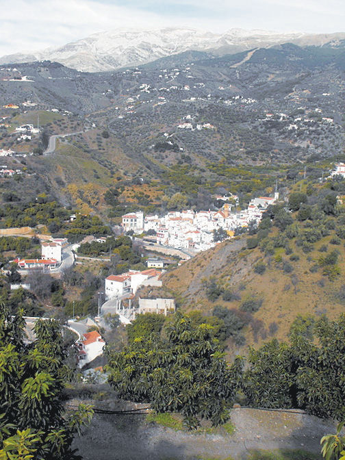
Axarquia? Think Costa del Sol
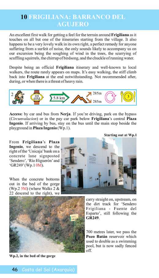
There’s so much more to Spain’s Costa del Sol than sun, sea and sangria. Turn inland and you’re looking at the Axarquia, an unspoiled wildly beautiful and rugged area, waiting for you to explore it. Mountains, wooded hills and plunging gorges, dotted with small towns, tiny settlements and farmsteads give a sense of the true heart of this unique region.


Almond, olive, lemon and orange groves thrive in valleys fed by springs and from streams descending from the mountains, fertile land carved into terraces to maximise the best agricultural areas.
The best way to explore is on foot or by mountain bike. Let’s get started with this free sample circular walk, quite short and not too energetic.


Find out lots more from Discovery Walking Guides HERE.
You’ll also find information about using your device for accessing walks in the Axarquia as well as how to get your hands on the area’s most detailed guidebook and map. There’s also another free walk (pdf format) for you to download.
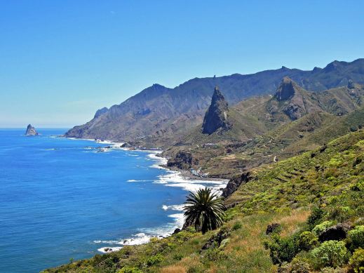
Lanzarote – what an experience!

Walking in the Haria region of Lanzarote
Each of the Canary Islands has its own unique personality. Lanzarote is strangely surreal. There’s plenty of wide open unspoiled places ideal for exploring by car, bike or on foot.

Lanzarote coastal adventure
Before you visit, get a really good map – and perhaps a walking guidebook.
The best map by a long way is Lanzarote Tour & Trail Super-Durable Map.
But don’t take our word for it – there are dozens of user reviews on line. Here’s a few of them:

Lanzarote Toast Rack Thingy
Kung Fu Panda
5.0 out of 5 stars Highly recommended if planning a driving holiday on Lanzarote
Compared to many “travel” maps this map is very good with an impressive level of detail, including different road types, paths and tracks, contouring, etc. The map itself is printed on a very durable (and ultimately recyclable) plastic sheet material. I would highly recommend this to anyone planning to drive around Lanzarote and perhaps to combine that with some walking. I have just driven around 500 miles during a 10-day holiday and found this invaluable.
Amazon Customer
5.0 out of 5 stars Great product.
I’m a regular user of OS maps & wanted a map of Lanzarote for our forthcoming holiday. This map, with the accompanying book, looks just the job. I particularly like the way the map & book cross-reference each other & the useful information about the walks.
Dylan
5.0 out of 5 stars great product
Fantastic map at a very reasonable price. Large scale shows walking trails etc. Great for research prior to our planned trip.
Freddie
5.0 out of 5 stars Excellent
Excellent map, a must for driving around as road signs are atrocious on Lanzarote for independent motorist! Very good for walks too. Also, yes bended, folded, chucked on back seat & footwell several times, and not a single tear of hole on the folds. Would recommend & will buy for other Canaries when we visit them.
Lanzarote for sunshine, blue seas, amazing huge skies and volcanic sci-fi landscapes. See it for yourself. You’ll never forget it.

Los Cocoteros, Costa Teguise
Tenerife – antidote to the winter blues

Some folk don’t mind the short, dark days of northern European winters. If you’re like me and you really DO mind them, how about hopping over to Tenerife? With temperatures to 23C and 6 hours of sunshine daily, it’s just the place to recharge your batteries. If you’re able to travel just before or just after the Christmas and New Year rush, you can get good value all-inclusive or full board deals that won’t cost much more than paying your home heating costs and food bills at home.
Ifyou tire of the sun and sea of the coastal resorts, you can visit the mountainous interior of Tenerife where there’s often snow in the winter months on the highest peaks, then go back down to the coast by sunset to warm up again.
Tenerife is a great destination for relaxing – and for hiking and biking too.

For more information and reasons to be on Tenerife this winter, take a look HERE.
