
Fuerteventura Super-Durable Map is here!
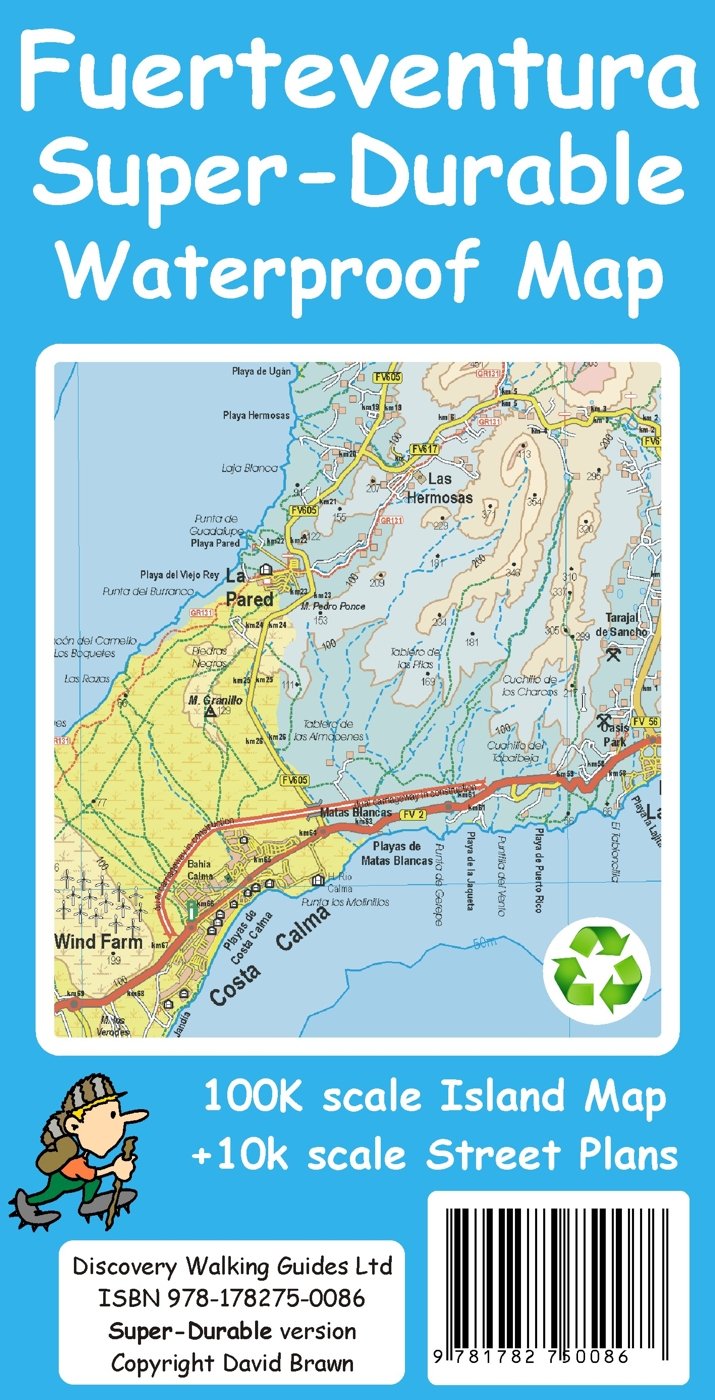
Fuerteventura Super-Durable Map 2015
Just arrived – Fuerteventura Super-Durable Map. HIghly detailed and right up-to-date and printed on a special polymer withstanding rain, wind and folding many times. The island appeals to windsurfers, cyclists, walkers and adventurers, and has miles and miles of pure, clean beaches too.
It’s an intriguing island with a timeless quality, the raw bones of the island shaped by a volcanic past. Unique – once experienced, never forgotten. Read more here

Aloe Vera thrives in Fuerteventura’s desert conditions.
http://www.dwgwalking.co.uk/fuerteventura.htm

On Fuerteventura’s east coast

Wind and Watersports on Fuerteventura
Fuerteventura – the wild, windy desert island
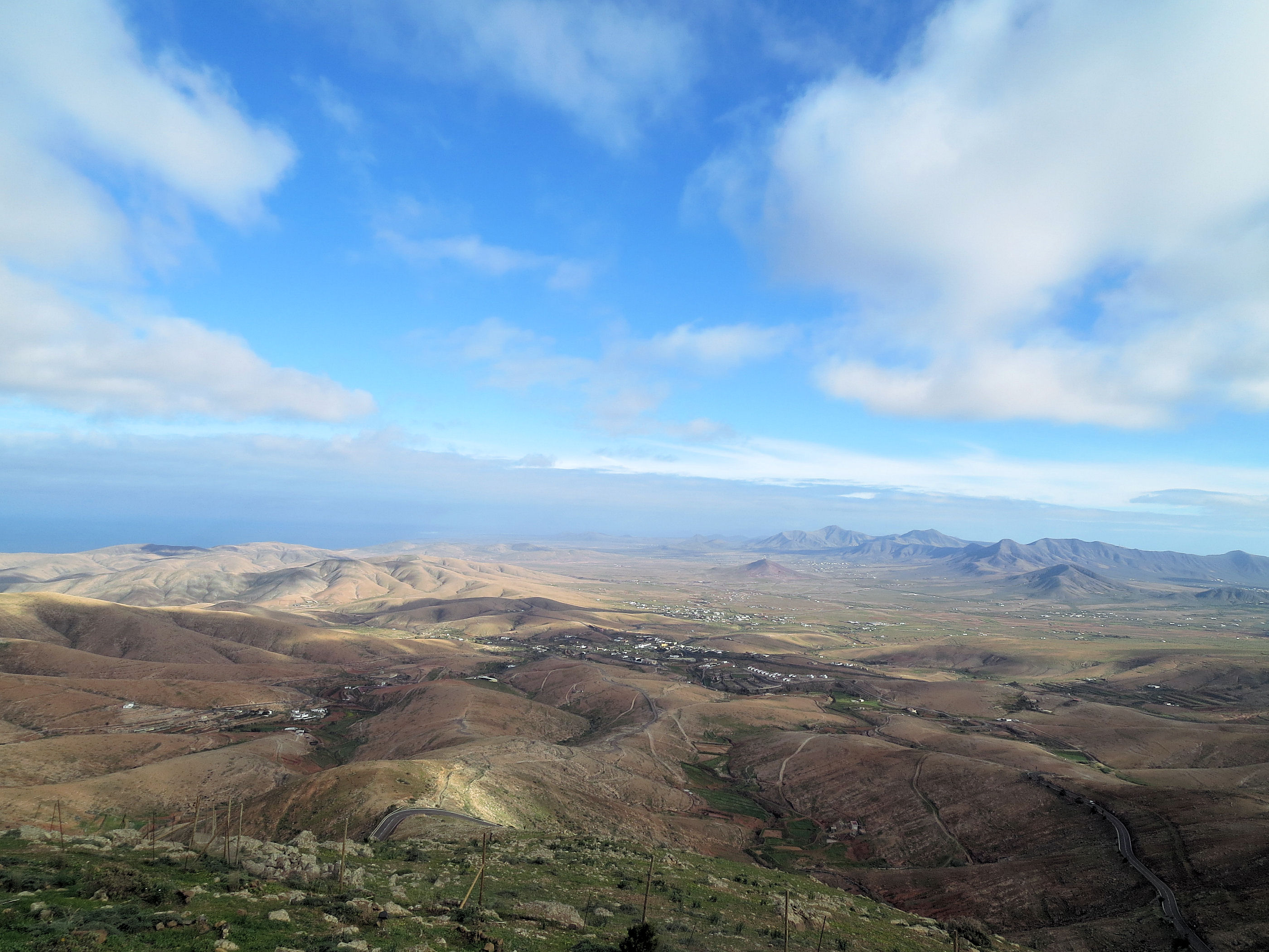
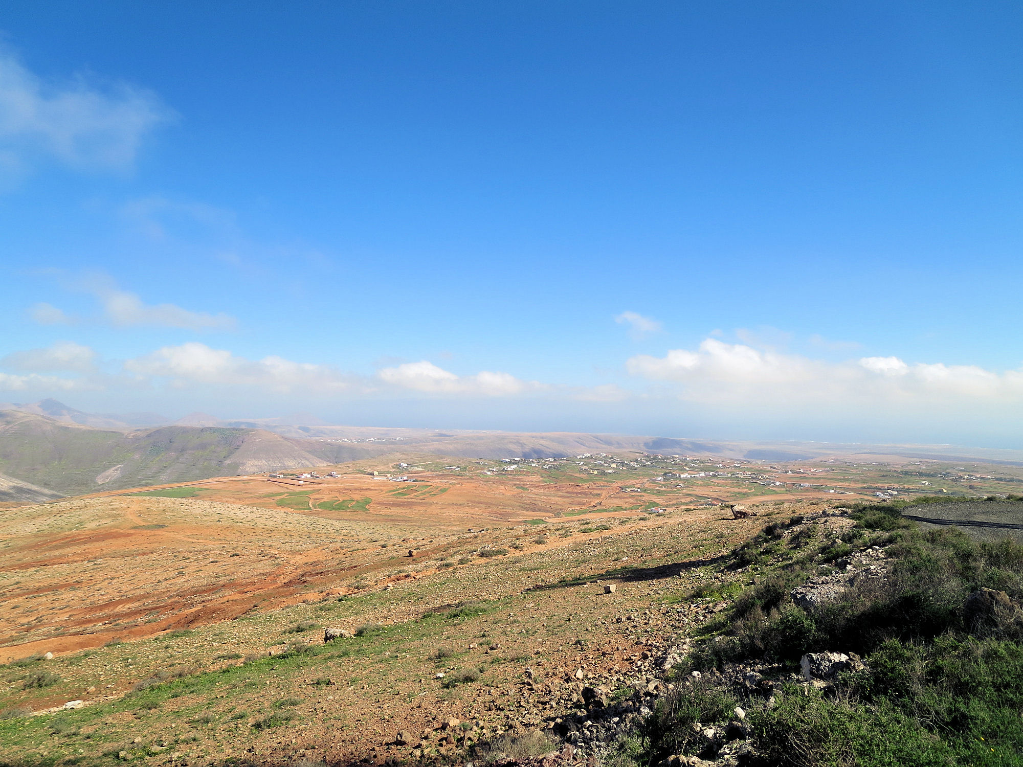
A surreal, wild and mostly empty landscape
We’ve just returned from completing a cartographic survey of this surreal island. Once your eye and mind adjust to the fact that most of it is a vast, volcanic desert, you begin to appreciate its surreal beauty.
Central north Fuerteventura from the settlement of Time.
There are few towns and settlements, so if volcanic cones, calderas and barrancos are your thing, it is a ‘must-see’ destination.
Fuerte+ventura translates as ‘strong wind’ and this eastern Canary Island lives up to its name.
No wonder, then, that the island pulls in watersports people from all over the world, enjoying the challenge of the winds alongside the serene beauty of miles and miles of pure white beaches.

Watersport heaven on Fuerteventura’s east coast
The island has a long history. Wandering the streets of the original capital of Betancuria (founded 1405) is a journey back in time.

Established in 1405, Fuerteventura’s origianl capital of Betancuria is a step back in time.
Get up high on one of the mirador viewpoints to see amazing views of the scattering of volcanic cones with a few precious patches of green in the valleys. There’s very little rainfall here so agriculture is an uphill battle.
Aloe Vera thrives in Fuerteventura’s desert conditions.
Goat farmers (delicious white local cheeses) and growers of aloe vera are more in tune with the harsh terrain and climate.
Now we have the raw data, our cartographer David is working on Discovery Walking Guides ‘Fuerteventura Super-Durable Map’ which we hope to publish in April 2015.
