
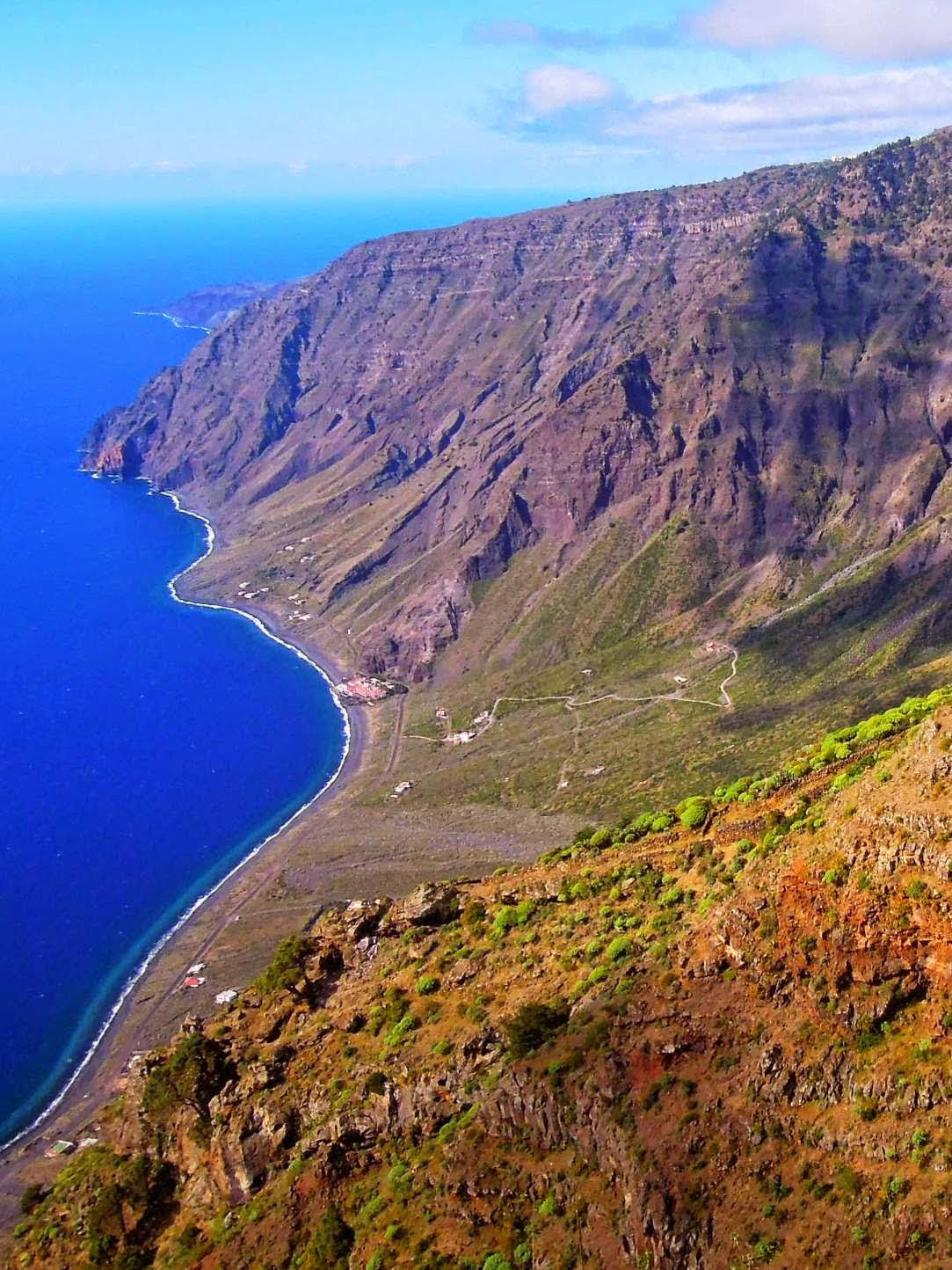
El Hierro? Where’s That?

El Hierro is small, unique and unforgettable. It’s the most westerly of the Canary Islands in the Atlantic Ocean, for centuries thought to be the westernmost point of the known world – until Columbus went further west to the Americas. He stopped off here to gather supplies before making his second voyage to the Americas.
El Hierro’s Punta de Orchilla was the original prime meridian of 0º established by Egyptian astronomer, mathematician and scientist Ptolemy (born c. 100 ce—died c. 170 ce). It remained earth’s prime meridian for over 200 years until 1884 when an international conference voted to move it to Greenwich, England.
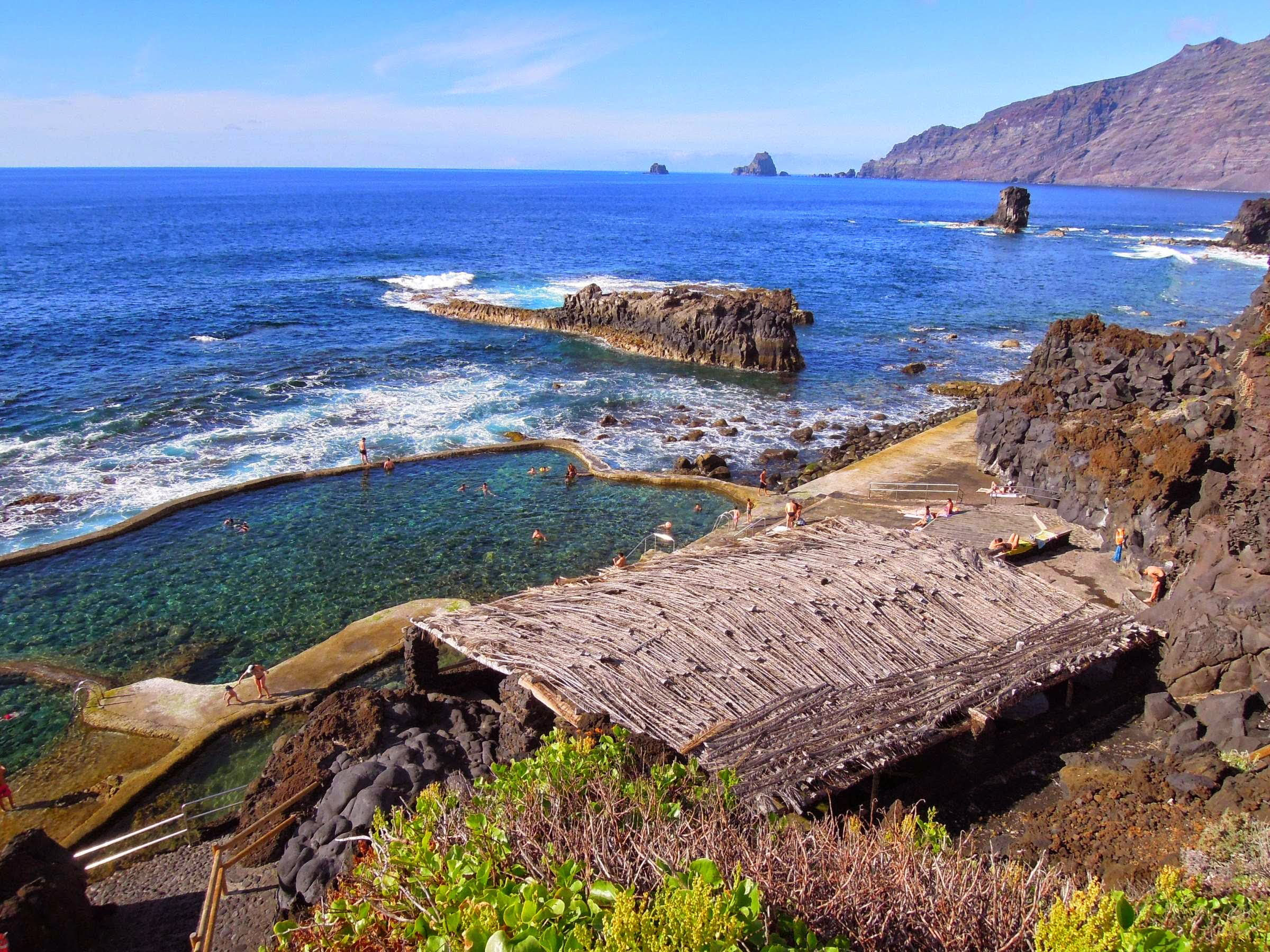
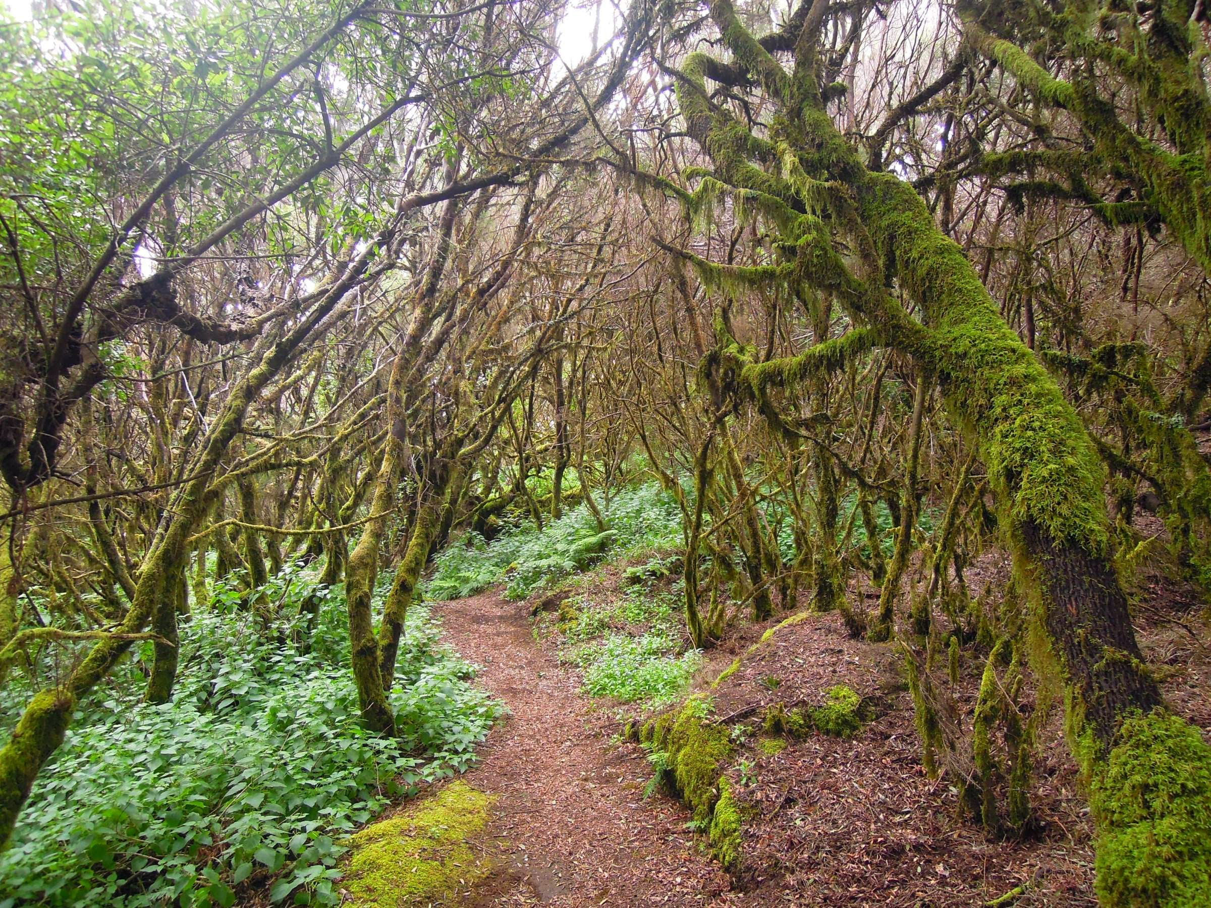
El Hierro has only around 10,000 inhabitants and modest numbers of visitors. It’s small but offers a wide variety of landscapes from rocky cliffs to green meadows, hamlets and farms to ancient gnarled forests. You can hire a car, walk, bike or hire a taxista or explore by public bus at pocket-money prices. For all the travel information once you’re on the island see http://www.transhierro.com/

If you have already travelled to Tenerife you can either fly to the tiny capital of Valverde in 40 minutes, or ferry in about 2-3 hours. There are also flights from Gran Canaria (approx. 55 minutes).

El Hierro may be a small island, yet it has developed its own character and cuisine. They make excellent cheeses, wines and local specialties.
The island is in the forefront of using renewable energy sources. obtained from inexhaustible natural resources such as wind or waterfalls. A combination of hydro and wind energy at the Gorona del Viento Power Plant supplies a sizeable proportion of the island’s energy needs.

There’s a good website with plenty of useful and inspiring information:
https://elhierro.travel/en/information/
If you’re tempted to visit, we suggest a really detailed and up to date map from Discovery Walking Guides
Canary Islands – Here We Come!
At last the Canary Islands are back on the British Government’s unrestricted travel list. The Canaries offer so much variety, each island unique and unforgettable, and with a warm, welcoming climate, the perfect choice as northern hemispheres feel the first shivers of winter.
Gran Canaria – the miniature continent, a roughly circular island of ravines and 60 kilometres of beaches, winding forest roads and criss-crossed with walking routes. Plenty to discover, day and night.
For more information click here.
Want the Gran Canaria Tour & Trail Super-Durable Map? Look here.
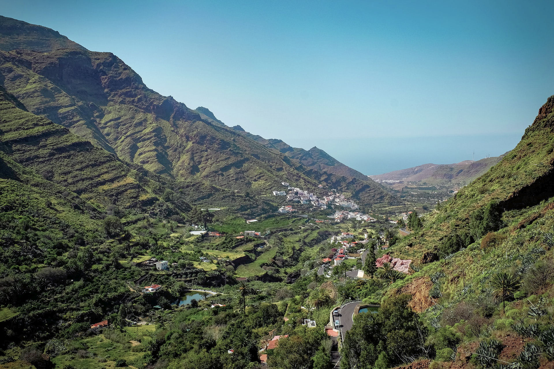
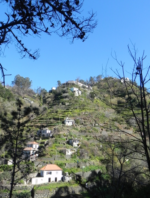
La Gomera, just west of Tenerife and easily reached via a short ferry crossing – plunging barrancos and soaring forest-topped mountains sprinkled with hamlets and farmsteads clinging to the slopes. Walk, bike, swim, explore – enjoy.

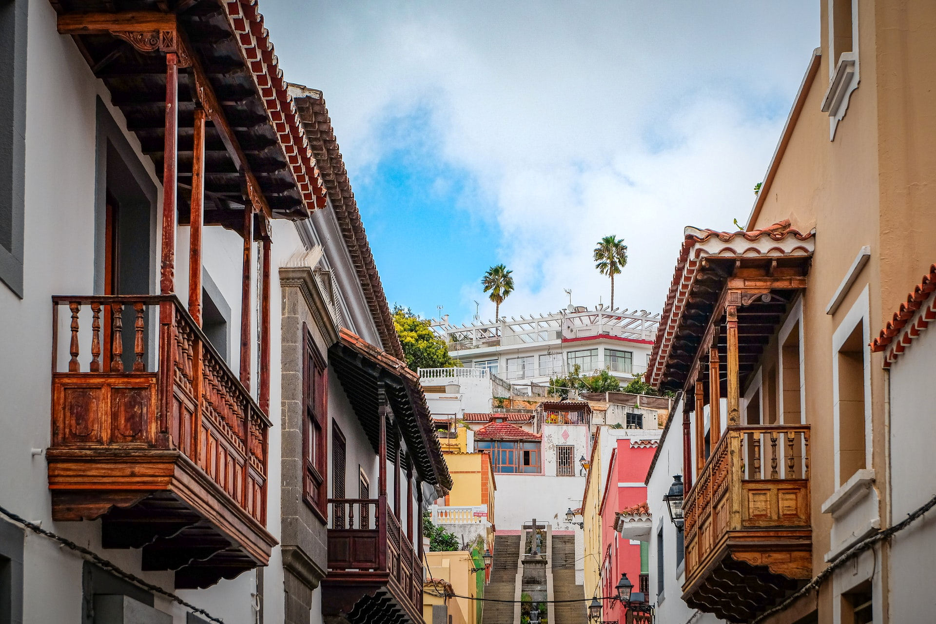
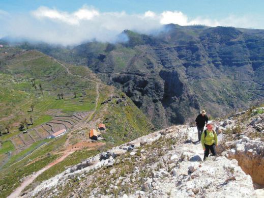
El Hierro, small, fascinating, the most remote and westerly Canary Island promises rugged terrain, narrow winding roads and great walking. A world-class marine reserve, free island-wide wifi and electric car charge ports contrast with the traditional feel of the island. Yet, there are very few tourists – for now.

There’s more information on La Gomera and El Hierro here.
La Gomera and El Hierro Tour & Trail Super-Durable Maps can be bought onlime including HERE.
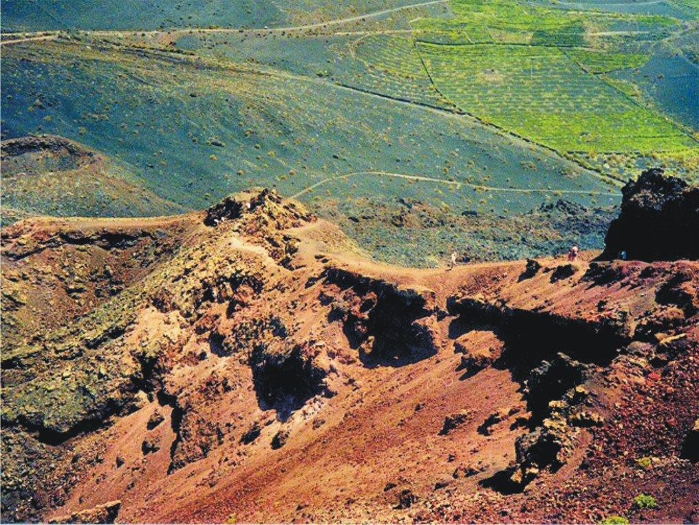
Lanzarote – the Fire Island; volcanic, mysterious and mesmerising terrain, lava seas and alpine meadows. Other-worldly. Once visited, never forgotten.


Find out more about Lanzarote here.
Buys the map from online selllers including HERE.
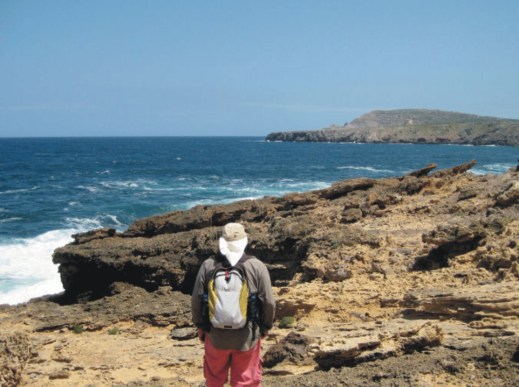
Fuerteventura, known for beautiful beaches and great water sports, also offers a surprising variety of fascinating walking adventures. Wild coastlines contrast with traditional towns and views across pristine seas.


See more information about Fuerteventura here.
Maps can be foundfrom online sellers including here.
La Palma – La Isla Bonita; dramatic landscapes; a breathtaking mountain spine splits this volcanic island. Black beaches, Lush vegetation and 1080 kilometres of waymarked walking paths.
There’s more information about walking on La Palma here.
Buy La Palma maps online including here.
Tenerife – a Walker’s Island There’s so much to Tenerife. 2034 square kilometres offer coastal adventures, mountain hikes, pine and laurel forest trails, strolls and strenuous challenges including Spain’s highest peak (Mount Teide).The choice is almost endless.


You can buy the walking guide, walking maps and bus map online.
A Little Good News – Free Digital Maps For Everyone
We may not be able to go adventuring for a while yet. However, we can plan ahead for when we can travel again. Have a look at our digital maps, clear and fully detailed for adventure planning of all kinds, including walking, climbing, biking or maybe daydreaming about your next big trip.


There’s a whole hatful of exciting free maps to be had. Take a look at this list of adventure destinations.
Balearic Islands
Mallorca
Menorca
Ibiza
Formentera
Madeira
Azores
Greek Islands
Corfu
Zante (aka Zakynthos)
Malta, Gozo & Comino
Spanish Mainland
Axarquia / Costa del Sol
Costa Blanca
Alpujarras
Sierra de Aracena

Canary Islands
Gran Canaria
La Palma
Tenerife
La Gomera & El Hierro
Lanzarote
Fuerteventura
We hope that we’ve inspired you to think about your next big adventure. To get your free digital maps, please look here https://www.dwgwalking.co.uk
