
A Taste Of La Gomera’s beauty – a free walk to download
 You’ve heard of Tenerife – but where’s La Gomera? It’s just a short ferry ride from Tenerife yet as different as chalk from cheese.
The island is almost circular and resembles a giant cake cut again and again by dramatic barrancos (ravines) running from centre to sea, topped by an ancient and mysterious laurel forest.
The taster route is Walk 26, ‘Las Mimbreras’, offering a tantalising sample of the island’s adventures. Here’s a map section of the route.
Find your free walk here:- http://www.dwgwalking.co.uk/walkla.htm
Tenerife – How About A Free Sample Walk?
 Here’s a great idea – download a free sample walk taken from Walk! Tenerife. You’ll get the full walk description, mapping and images. There are 46 walks in the book, covering the island’s best walking areas.
Your free download is Walk 41 ‘Las Mercedes – Llano de Los Loros’. Our pic shows one of the great views from the route, over the Tahoido Dam and down to Tenerife’s north coast.
Here’s the link you need to access your free download; print it out on one sheet of A4 or save the pdf to your computer:- http://www.dwgwalking.co.uk/ten35walks.htm
Nearly Spring In Menorca
 Menorca might not be the first destination you think of for a walking holiday. We find it surprising and fascinating. It has beautiful wild countryside and great walking. The island is full of interest, especially if you have an interest in ancient history, archaeology, geology, birds or flora.
And if you’d like to escape the winter, you’ll find Spring starts a little earlier here.
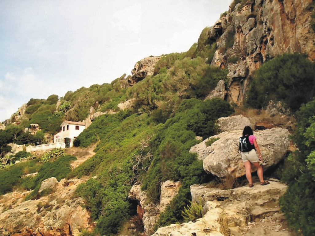
Above; on the Cales Coves route, Walk 30.
This pic (right) was taken on a coastal route (Walk 8) in the island’s south-east, crossing limestone ‘tables’.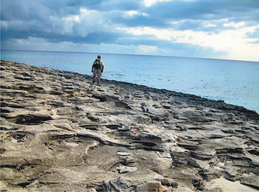
 – and here’s a view (below) along the rugged north coast on Walk 39.
More about walking on Menorca at http://dwgwalking.co.uk/men.htm
Field Test Report – Gran Canaria Tour & Trail Map
Our thanks go to Andrew who field tested the beta version of Gran Canaria Tour & Trail Map:-
On 2 February 2014 Andrew K wrote:
Hi both,
Just a quick note to thank you both for giving me access to the beta Tour & Trail map for Gran Canaria.
We didn’t come across any issues whilst using it around the central and southern parts of the island. I used it on my Android smartphone and loaded the gpx track files which matched up perfectly to the map.
Looking forward to purchasing the final version when it’s available.
All the best,
Andrew
More information about this amazing island can be found here;
Gran Canaria – mapping update
For those itching to get their hands on the first really detailed and up-to-date map for walkers/hikers/bikers on the island of Gran Canaria (Canary Islands, Spain), see this report from the cartographer (27 January 2014):-
David Brawn
“I’ve just today reclassified the roads after chatting with Rambling Roger, and then added the island’s beaches. Just a couple of corrections, add a Lat/Long 1 minute grid, add flower symbols for all the gardens and garden centres, then design a new legend and I think I’m nearly there with the new Gran Canaria Tour & Trail Super-Durable Map.”
David Brawn, Cartographer, DWG Ltd
Gran Canaria – almost there …
Are you waiting for our new Tour & Trail Map before heading off to adventure on the wonderful island of Gran Canaria? Not long to wait now. Our cartographer, David is checking the design through and it will soon be off to the printers. A downloadable version will also be available. Want to know more? Look http://www.dwgwalking.co.uk/gcan.htm
In the meantime, check out Rambling Roger’s website – this man knows walking on GC like the back of his hand and we thank him for his valuable input into the map detail.
See his site http://www.ramblingroger.com/
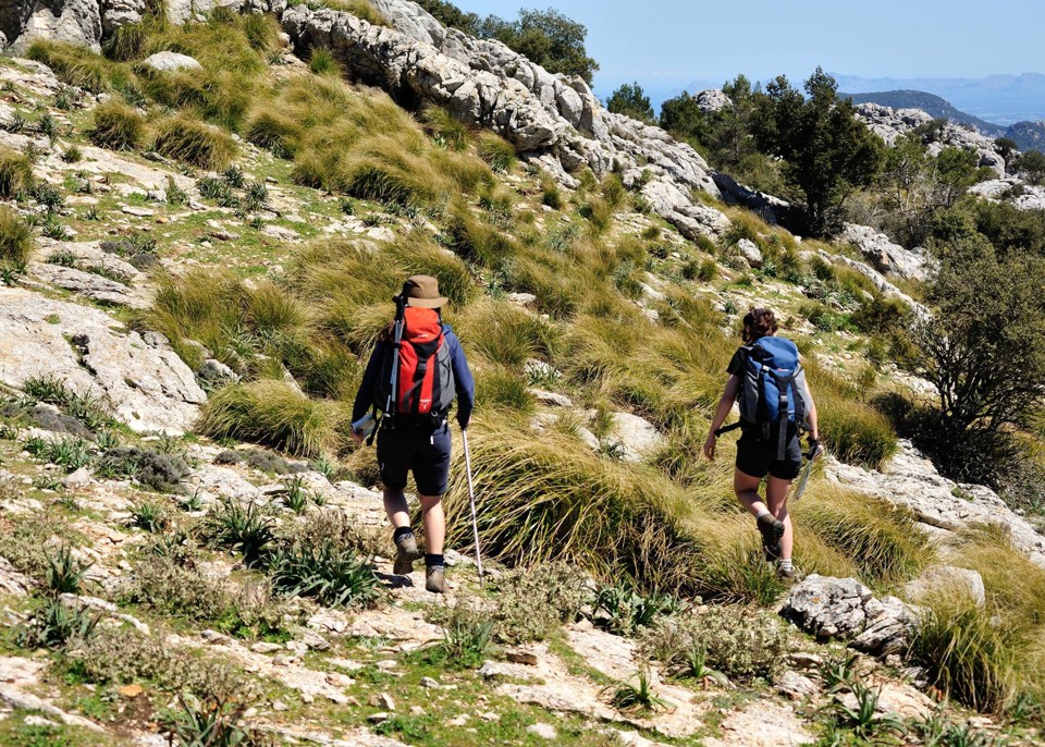
Thank you Chris Kurton – in Mallorca
Chris adventuring in Mallorca.
Gran Canaria – new Tour & Trail Map approaches the finishing post
David, our cartographer, has been working on what will be the most detailed and up-to-date map of the dramatic island of Gran Canaria, Canary Islands. Keep checking here for the release date.
