
Plan Your Next Walking Adventure With our FREE Digital Maps
With the real hope of vaccines within reach, we can look forward to planning walking adventures again. Once travel freedom returns, there’s going to be a lot of pent-up desire to get away, so this could be the best time to make some plans.
We’d like to help you get planning. Where to next? Why not start by getting your hands on our Free Digital Maps.
Read all about it HERE.
There are free maps to 19 tempting walking destinations to check out, including :
CANARY ISLANDS
La Gomera & El Hierro, Lanzarote, La Palma, Tenerife, Fuerteventura, Gran Canaria

BALEARIC ISLANDS
Mallorca, Menorca, Ibiza, Formentera

GREEK ISLANDS
Zakynthos (Zante), Corfu
SPANISH MAINLAND
Costa Blanca Mountains, Costa del Sol (Axarquia), Alpujarras, Sierra de Aracena

– and also:
Malta & Gozo
Madeira
Azores
To see more details about the free digital maps and how to get them, LOOK HERE
Greece? You’re welcome!
Zakynthos (Zante) is one of the Greek islands that’s back on the green travel list for Travellers in the UK England, Wales, Northern Ireland (not Scotland). As the UK autumn takes hold, how does the idea of warm sunshine and beautiful islands appeal?

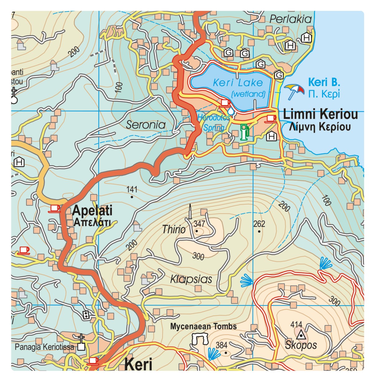
Other Greek islands that were already on the British Government’s ‘green’ good to go travel list include Kefalonia and Corfu.


Kefalonia Tour & Trail Super-Durable Map published by Discovery Walking Guides Ltd
Updated lists of countries exempted from quarantine on return to the UK can be found HERE.
If you plan to go overseas, it’s a good idea to also check your destination country’s regulations for arriving visitors.

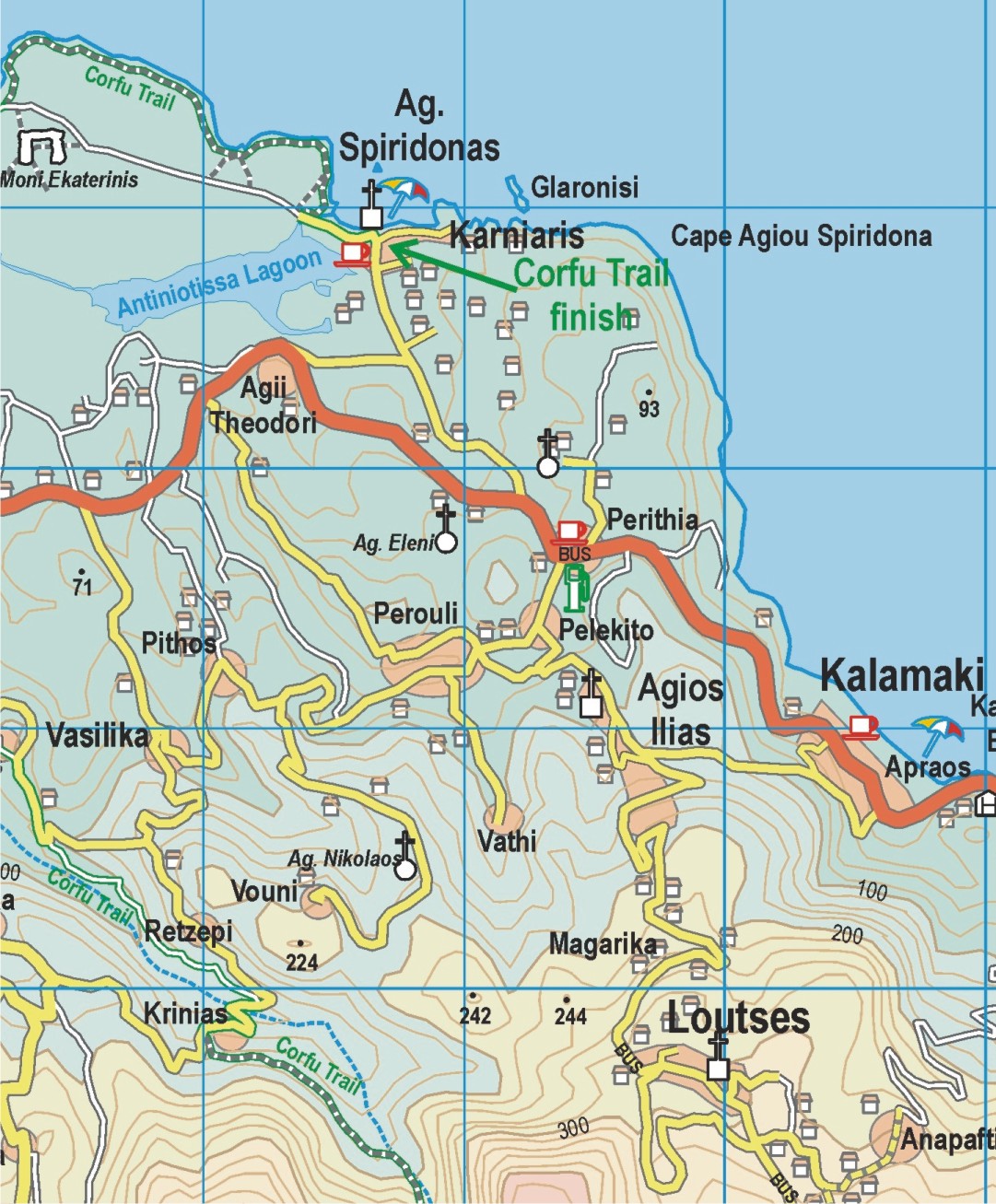
Corfu Tour & Trail Super-Durable Map published by Discovery Walking Guides Ltd
For information about each of these three beautiful islands and how to get the detailed maps to enhance your adventures, take a look at Zante Kefalonia and Corfu.
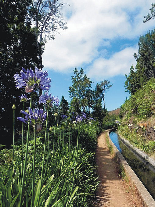
Madeira – good to go!
Although many parts of the UK enjoyed some warm sunny September days, the switch seems to have suddenly flipped to full Autumn. Chilly, windy and rain that sets in for hours on end. Overseas travel is still tricky to plan, though Madeira remains one of the Government’s ‘green list’ destinations.
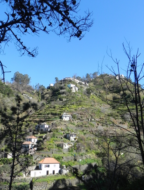
How does the weather in Madeira compare to London’s at this time of year? A quick check of BBC weather services for October 03 2020 has London’s temperature range as 10C – 15C, heavy rain, zero sun. Madeira should enjoy 19C to 25C, little chance of a shower and plenty of sunny intervals. Madeira gets plenty of rain too; look at those beautiful forests, trees and flowers. But the island’s sunshine and temperature figures look tempting as winter beckons.

Madeira is a classic destination for keen walkers, though you don’t need to be an expert. There are plenty of lovely strolls as well as high end challenges for experts, with plenty of variety in between. Or, why not explore by bus, a pocket-money way to experience the island. For plenty more information on discovering Madeira, take a look HERE.
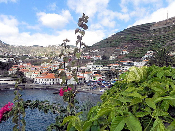
Thanks to author-researcher Shirley Whitehead for these beautiful photos of her home island.
The Amazing Island of La Palma
La Palma is the most north-westerly and the steepest of the Canary Islands; arguably it’s the steepest island in the world.
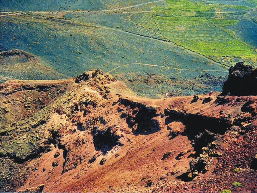
La Palma – walking on volcanoes
If you’re looking for a walking destination that’s wild, beautiful and unforgettable, La Palma will not disappoint.
![07 [03] Views from Pico Birigoyo (Wp.9) EDITED](https://discoverywalking.com/wp-content/uploads/2019/09/07-03-views-from-pico-birigoyo-wp.9-edited-2.jpg)
Views from Pico Birigoyo
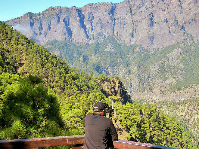
La Cumbrecita
Discover this remarkable place on foot or by bike. Take a look at more information including Walk! La Palma guidebook and the newly-published 7th edition of La Palma Tour & Trail Super-Durable Map.
Zante, Zakynthos: party or adventure?
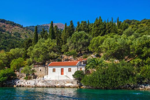
Party island? For some, yes, but there is so much more to Zante – also called Zakynthos.
This beautiful Greek island in the Ionian Sea offers white beaches lapped by turquoise waters. Water sports enthusiasts will be in seventh heaven.

A fascinating coastline of rocky headlands, white cliffs and caves tempts exploration. There’s a fistful of walking guidebooks available offering strolls, walks and more challenging daily hikes.

Whatever you plan to explore, there’s an excellent newly-published island map detailing walking routes and a wealth of detail which will ensure you get the best out of your adventures.

Malta, Gozo (and Comino)
Malta and sister island Gozo offer a wealth of experiences. The climate is kind and there’s plenty of walking adventures to explore.

The islands are rich in history (there are three UNESCO World Heritage Sites), having been inhabited since around 5900 BC.

Many of the powers that ruled the islands, from the Phoenicians to the British, have left their marks, making the islands a living museum.
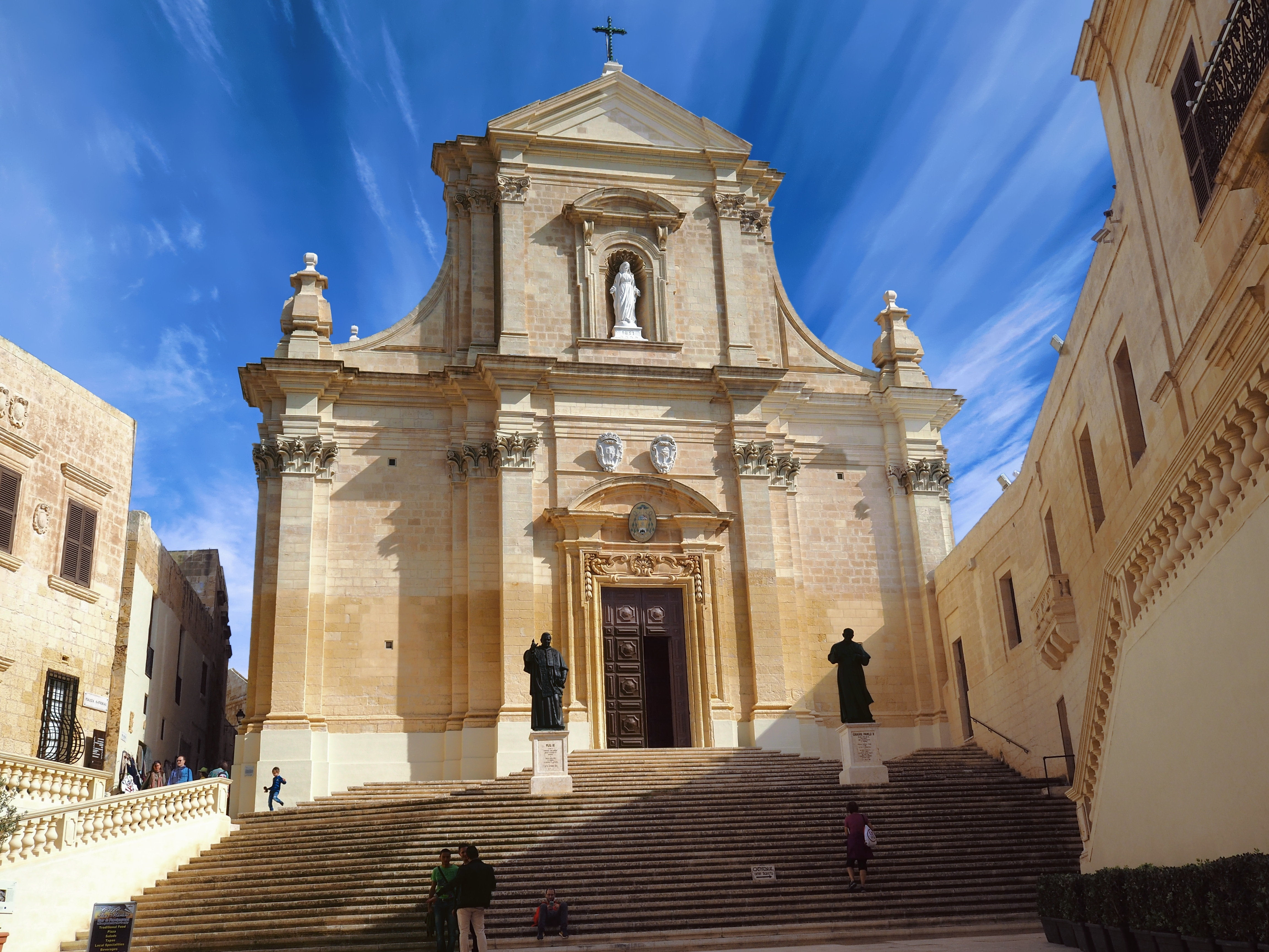
With its unique flora, architecture and beaches, a visit to either or both islands (25 minutes ferry connection) offers plenty to interest and fascinate.
Discovery Walking Guides have just published their Malta & Gozo Tour & Trail Super-Durable Map, ideal for walkers, bikers, adventurers and visitors. The map is also available for use on some GPS devices; click here for details.
Another Challenge?
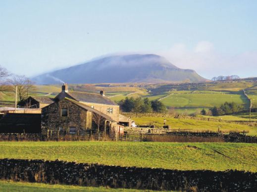
Challenge No.2 The Yorkshire 3 Peaks
Great Britain offers many opportunities for discovering the outdoors, from gentle strolls to big challenges. Here’s one of the big ones. You could plan to tackle the Yorkshire 3 Peaks yourself, or simply lose yourself in the experiences of others who’ve planned and completed the climbs and descents, following them step by step from your own armchair.

Key to success in completing the Challenge Routes in good time is planning, down to the finest details. It’s fascinating to find out how it’s done.

A good large scale map, rip-proof and waterproof is an essential tool. Find out about the most helpful ‘how to’ guide and the best map for the job here.

Heading towards Whernside
Pen y Ghent in the early morning

Our last peak – Pen y Ghent crags
Are You Up For A Challenge?
Challenge No.1 The National 3 Peaks
With the Christmas/New Year break coming up for many, why not plan to complete the National 3 Peaks Challenge. If that’s a bit too energetic, experience these iconic ascents and descents from your armchair. Here’s a few images to tempt you.
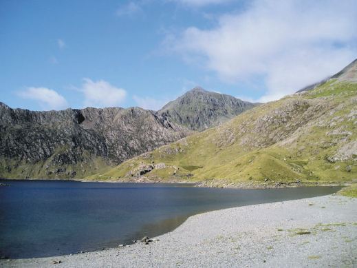
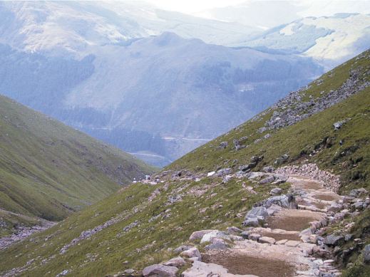
Find out how to plan your own Challenge. Get the best ‘how to’ advice from those who have completed it. Get the best, detailed up-to-date maps to keep you on track.

Axarquia? Think Costa del Sol
There’s so much more to Spain’s Costa del Sol than sun, sea and sangria. Turn inland and you’re looking at the Axarquia, an unspoiled wildly beautiful and rugged area, waiting for you to explore it. Mountains, wooded hills and plunging gorges, dotted with small towns, tiny settlements and farmsteads give a sense of the true heart of this unique region.


Almond, olive, lemon and orange groves thrive in valleys fed by springs and from streams descending from the mountains, fertile land carved into terraces to maximise the best agricultural areas.
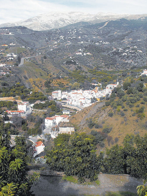
The best way to explore is on foot or by mountain bike. Let’s get started with this free sample circular walk, quite short and not too energetic.


Find out lots more from Discovery Walking Guides HERE.
You’ll also find information about using your device for accessing walks in the Axarquia as well as how to get your hands on the area’s most detailed guidebook and map. There’s also another free walk (pdf format) for you to download.
Lanzarote – what an experience!

Walking in the Haria region of Lanzarote
Each of the Canary Islands has its own unique personality. Lanzarote is strangely surreal. There’s plenty of wide open unspoiled places ideal for exploring by car, bike or on foot.

Lanzarote coastal adventure
Before you visit, get a really good map – and perhaps a walking guidebook.
The best map by a long way is Lanzarote Tour & Trail Super-Durable Map.
But don’t take our word for it – there are dozens of user reviews on line. Here’s a few of them:

Lanzarote Toast Rack Thingy
Kung Fu Panda
5.0 out of 5 stars Highly recommended if planning a driving holiday on Lanzarote
Compared to many “travel” maps this map is very good with an impressive level of detail, including different road types, paths and tracks, contouring, etc. The map itself is printed on a very durable (and ultimately recyclable) plastic sheet material. I would highly recommend this to anyone planning to drive around Lanzarote and perhaps to combine that with some walking. I have just driven around 500 miles during a 10-day holiday and found this invaluable.
Amazon Customer
5.0 out of 5 stars Great product.
I’m a regular user of OS maps & wanted a map of Lanzarote for our forthcoming holiday. This map, with the accompanying book, looks just the job. I particularly like the way the map & book cross-reference each other & the useful information about the walks.
Dylan
5.0 out of 5 stars great product
Fantastic map at a very reasonable price. Large scale shows walking trails etc. Great for research prior to our planned trip.
Freddie
5.0 out of 5 stars Excellent
Excellent map, a must for driving around as road signs are atrocious on Lanzarote for independent motorist! Very good for walks too. Also, yes bended, folded, chucked on back seat & footwell several times, and not a single tear of hole on the folds. Would recommend & will buy for other Canaries when we visit them.
Lanzarote for sunshine, blue seas, amazing huge skies and volcanic sci-fi landscapes. See it for yourself. You’ll never forget it.

Los Cocoteros, Costa Teguise
