
Are You Up For A Challenge?
Challenge No.1 The National 3 Peaks
With the Christmas/New Year break coming up for many, why not plan to complete the National 3 Peaks Challenge. If that’s a bit too energetic, experience these iconic ascents and descents from your armchair. Here’s a few images to tempt you.
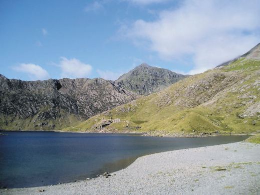
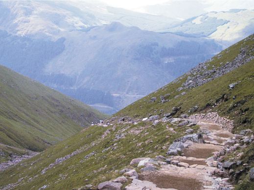
Find out how to plan your own Challenge. Get the best ‘how to’ advice from those who have completed it. Get the best, detailed up-to-date maps to keep you on track.

Axarquia? Think Costa del Sol
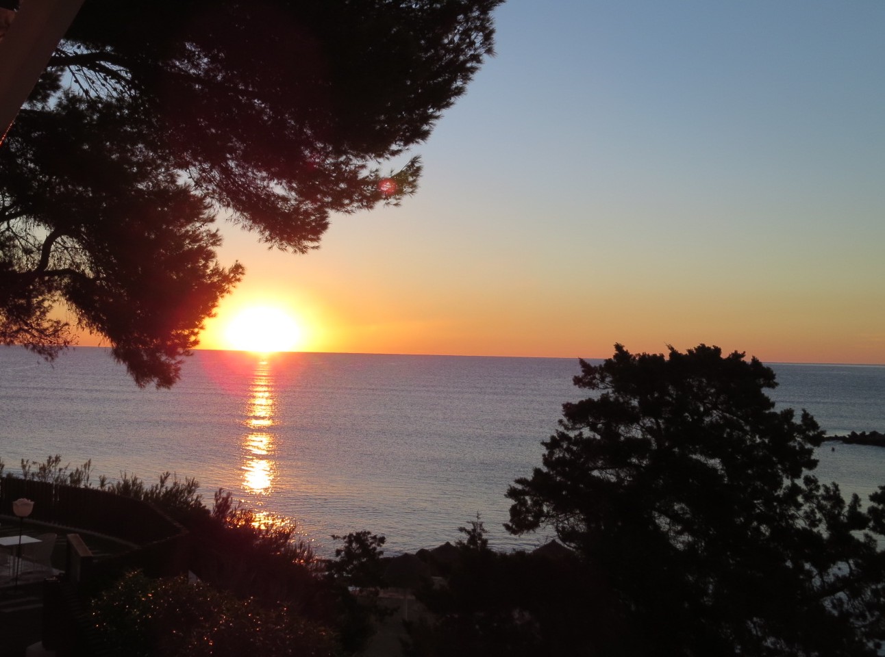
There’s so much more to Spain’s Costa del Sol than sun, sea and sangria. Turn inland and you’re looking at the Axarquia, an unspoiled wildly beautiful and rugged area, waiting for you to explore it. Mountains, wooded hills and plunging gorges, dotted with small towns, tiny settlements and farmsteads give a sense of the true heart of this unique region.


Almond, olive, lemon and orange groves thrive in valleys fed by springs and from streams descending from the mountains, fertile land carved into terraces to maximise the best agricultural areas.
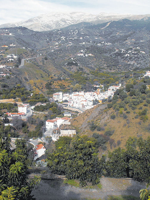
The best way to explore is on foot or by mountain bike. Let’s get started with this free sample circular walk, quite short and not too energetic.
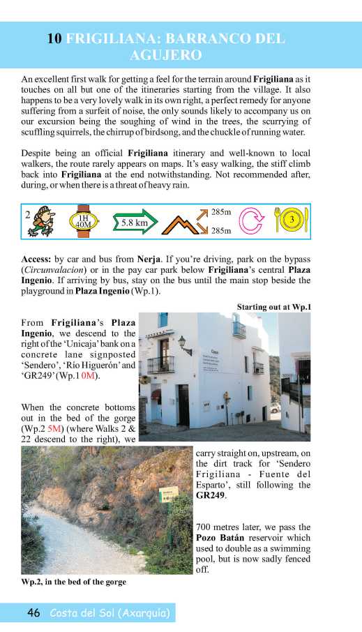


Find out lots more from Discovery Walking Guides HERE.
You’ll also find information about using your device for accessing walks in the Axarquia as well as how to get your hands on the area’s most detailed guidebook and map. There’s also another free walk (pdf format) for you to download.
Lanzarote – what an experience!

Walking in the Haria region of Lanzarote
Each of the Canary Islands has its own unique personality. Lanzarote is strangely surreal. There’s plenty of wide open unspoiled places ideal for exploring by car, bike or on foot.

Lanzarote coastal adventure
Before you visit, get a really good map – and perhaps a walking guidebook.
The best map by a long way is Lanzarote Tour & Trail Super-Durable Map.
But don’t take our word for it – there are dozens of user reviews on line. Here’s a few of them:

Lanzarote Toast Rack Thingy
Kung Fu Panda
5.0 out of 5 stars Highly recommended if planning a driving holiday on Lanzarote
Compared to many “travel” maps this map is very good with an impressive level of detail, including different road types, paths and tracks, contouring, etc. The map itself is printed on a very durable (and ultimately recyclable) plastic sheet material. I would highly recommend this to anyone planning to drive around Lanzarote and perhaps to combine that with some walking. I have just driven around 500 miles during a 10-day holiday and found this invaluable.
Amazon Customer
5.0 out of 5 stars Great product.
I’m a regular user of OS maps & wanted a map of Lanzarote for our forthcoming holiday. This map, with the accompanying book, looks just the job. I particularly like the way the map & book cross-reference each other & the useful information about the walks.
Dylan
5.0 out of 5 stars great product
Fantastic map at a very reasonable price. Large scale shows walking trails etc. Great for research prior to our planned trip.
Freddie
5.0 out of 5 stars Excellent
Excellent map, a must for driving around as road signs are atrocious on Lanzarote for independent motorist! Very good for walks too. Also, yes bended, folded, chucked on back seat & footwell several times, and not a single tear of hole on the folds. Would recommend & will buy for other Canaries when we visit them.
Lanzarote for sunshine, blue seas, amazing huge skies and volcanic sci-fi landscapes. See it for yourself. You’ll never forget it.

Los Cocoteros, Costa Teguise
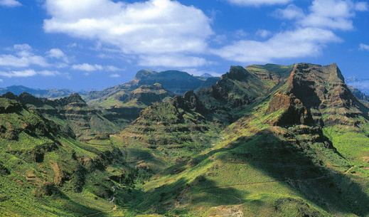
Gran Canaria – it’s a whole new world
They don’t call it the ‘mini-continent’ for nothing!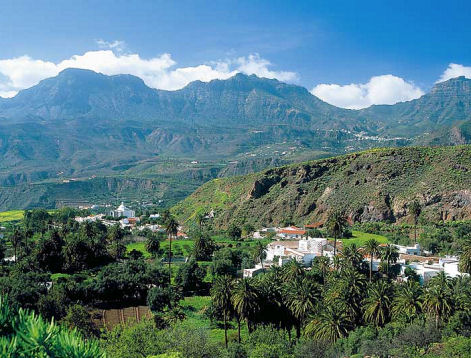
Though it’s under a 5 hour flight away (from the UK and western Europe), it feels like a different world.
There’s plenty to see and do, though the best thing of all is to walk the trails and marvel at the views, the forests, flora and fauna and the ancient villages.
Gran Canaria Tour & Trail Super-Durable Map is now in its 5th edition. This is the level of detail you need when exploring the island.
Here at Discovery Walking Guides, we’ve watched the rise and rise of this fascinating island as a hiking/biking/touring destination over the past few years. Gran Canaria has emerged from the shadows to become a ‘must walk’ destination in the Canary Islands.
There’s wonderful dramatic scenery and unspoilt villages, plus clean, spacious beaches for the days you don’t want to walk (or bike or drive).

To get the best from your visit, get the best map. Here’s a small segment – look at that clarity and detail. To find out more about the map look here.
There’s plenty of walking information from Rambling Roger, who lives there and knows the island like the back of his hand.
If you fancy 18-23C and mostly sunny days from December to April, hop over to Gran Canaria.
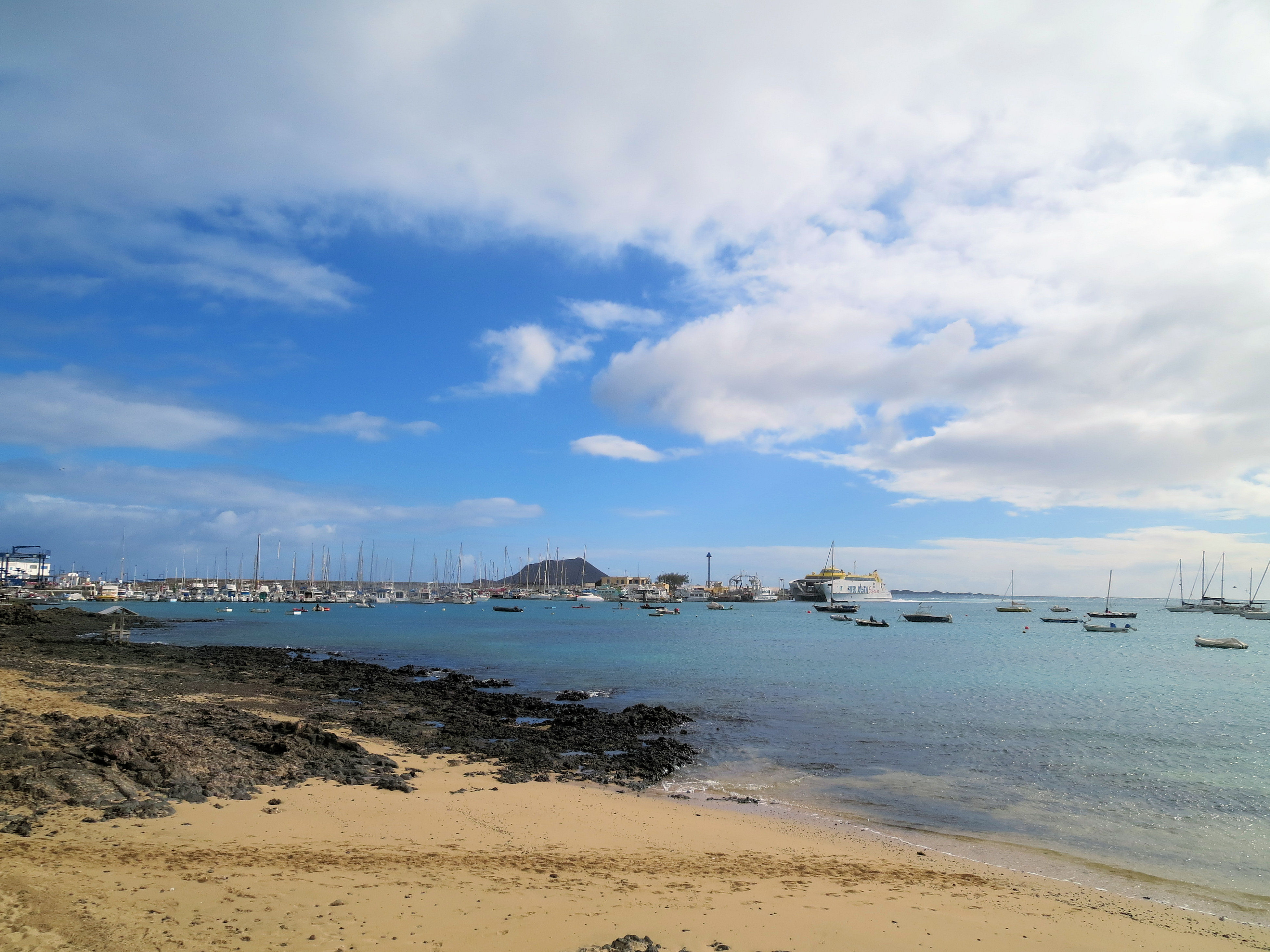
Fuerteventura? Yes,please!
Surreal pastel hills in ice-cream hues form Fuerteventura’s backbone. It’s an island of golden beaches interspersed with rugged volcanic coastlines, turquoise seas and watercolour landscapes.
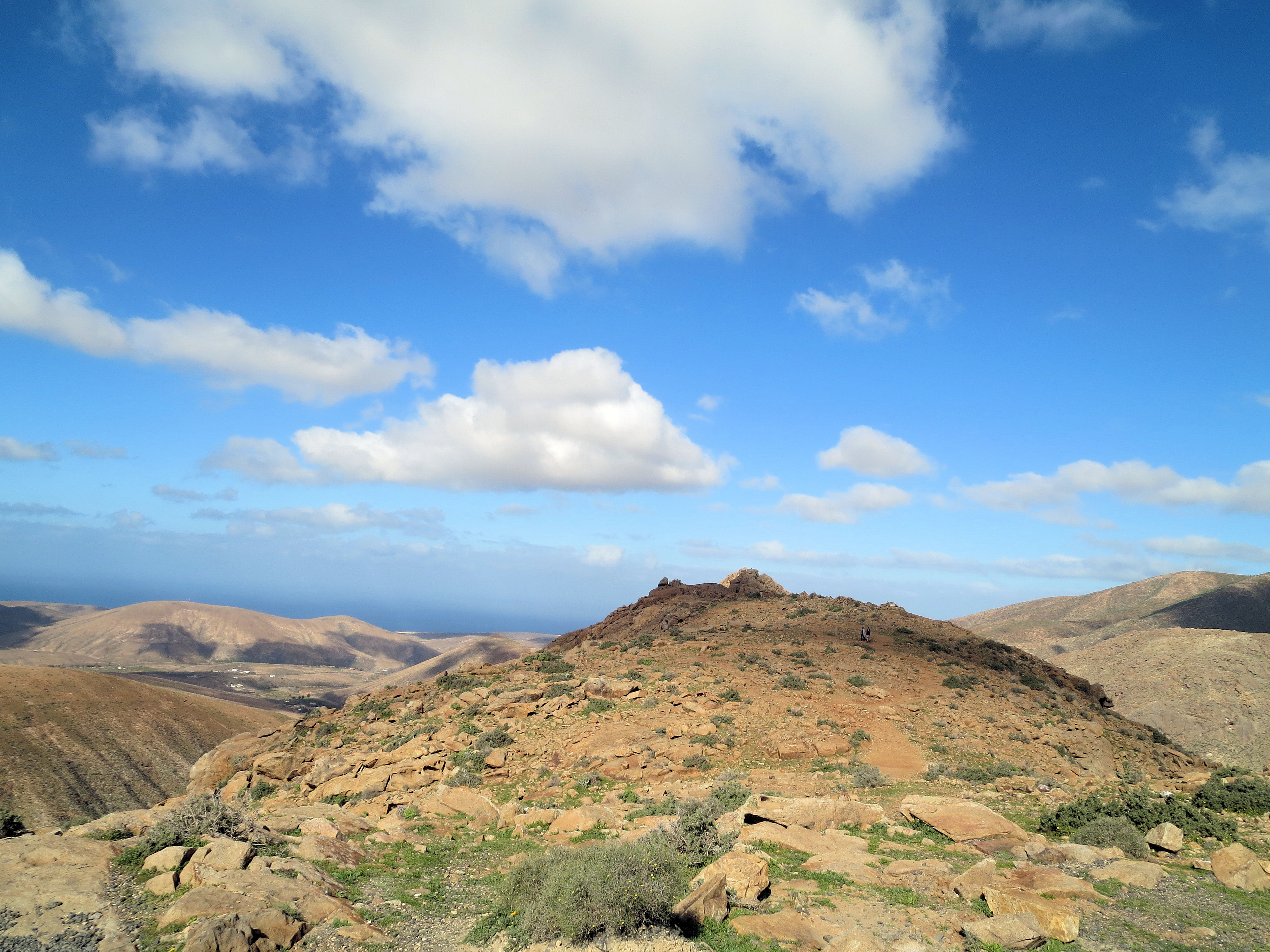
High above the resorts
If you simply must have forests and lush greenery, it’s best to look elsewhere. But, if you want to be seduced by out of this world views, Fuerteventura ticks the boxes.
Looking across to Corralejo, Fuerteventura
Discover the island by bus, on foot or by bike to get a real feel of authentic Fuerteventura’s countryside and little white villages.
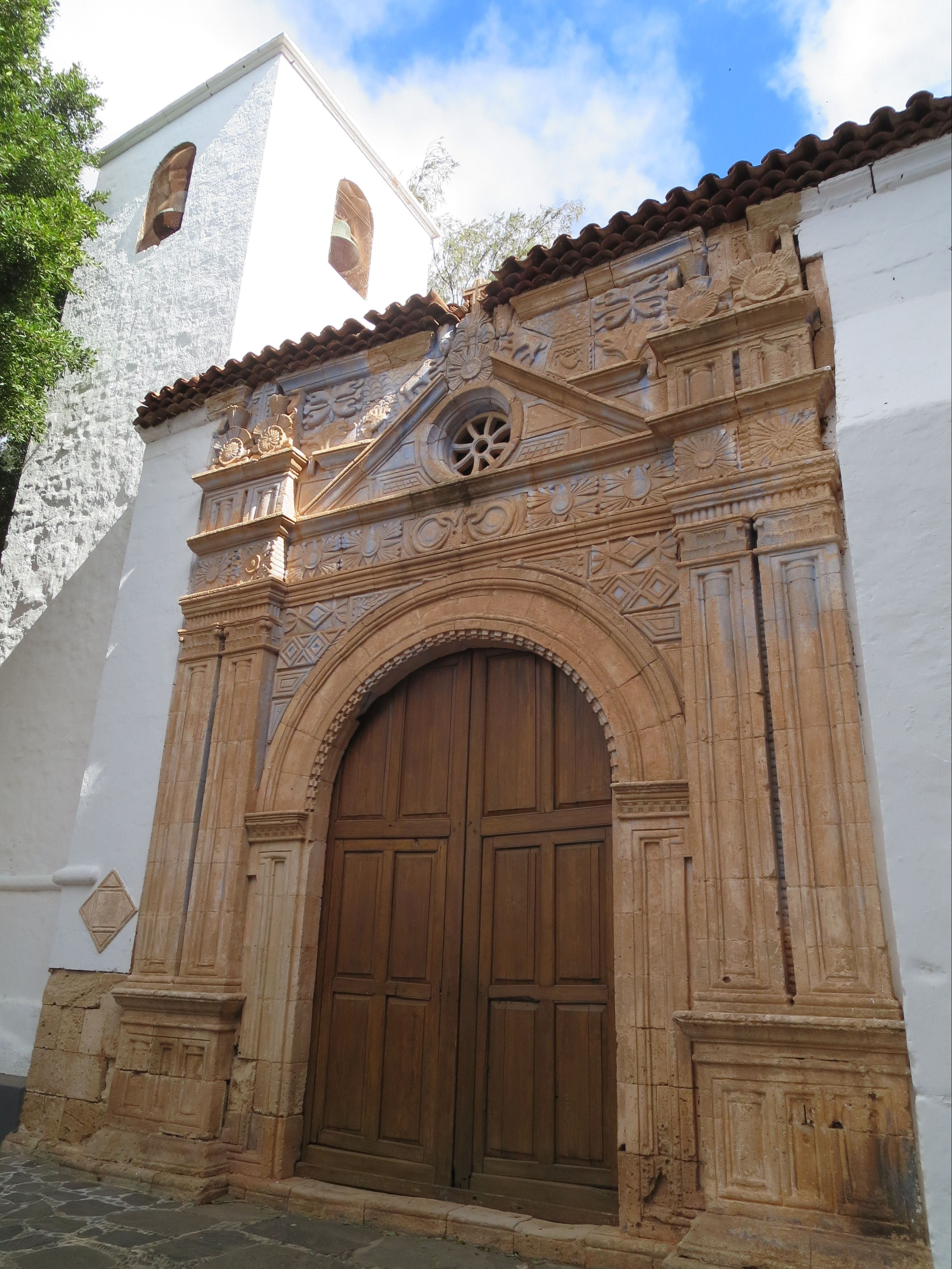
Iglesia de Nuestro Señora de Regla,Pájara
Watersports are really big here too; note that Fuerteventura translates as ‘strong winds’.

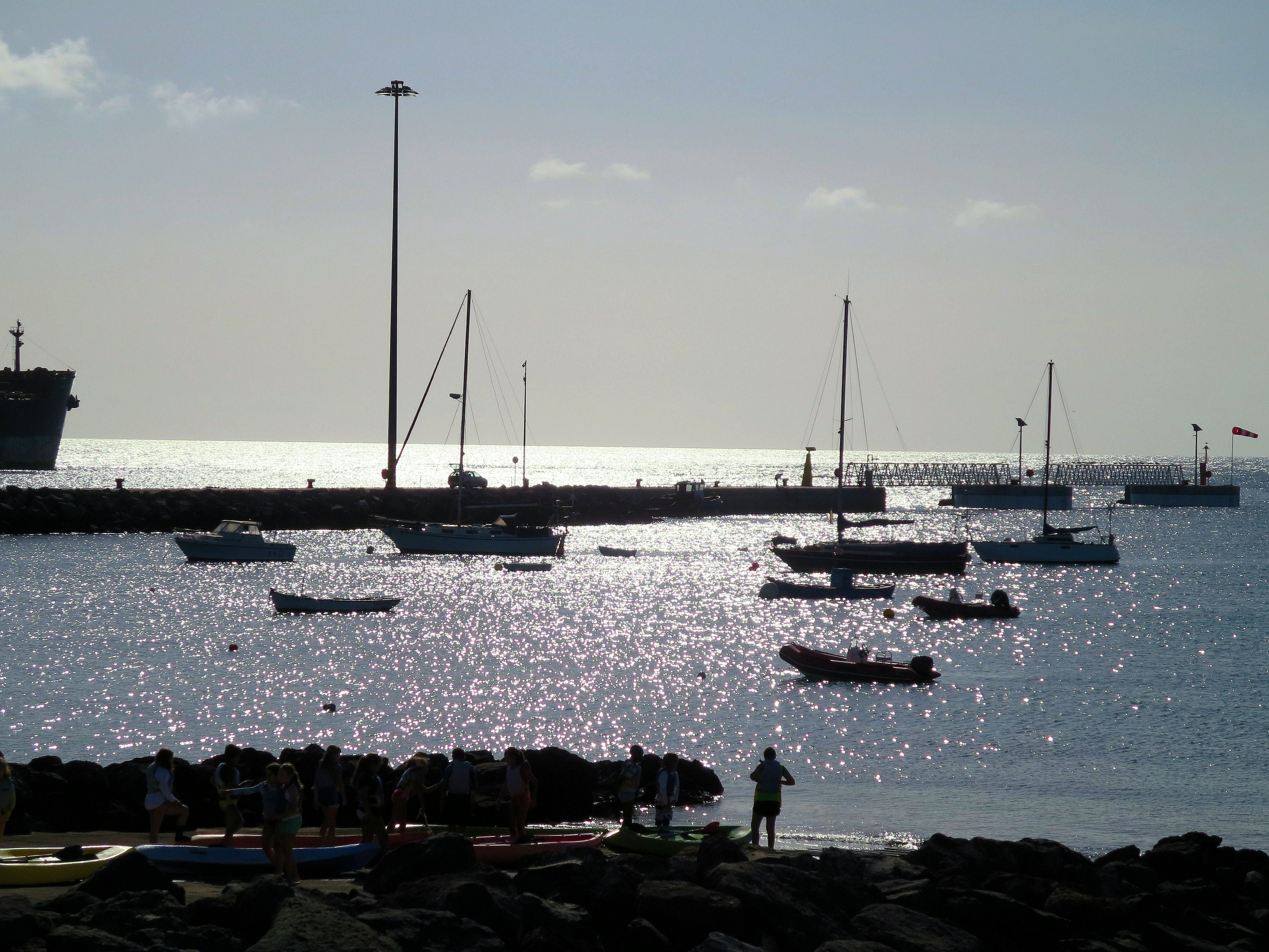
Watersport heaven on Fuerteventura’s east coast
Although the island is only around 5 hours’ flight away (from western Europe) it feels as if you’re on another planet. You’ll never forget Fuerteventura.
Nightfall, Fuerteventura
As winter’s grip takes hold, what better time to revel in the gentle twenty-something temperatures and blue skies of this unique Canary Island.
Take a look HERE for mapping information for Fuerteventura.
Tour and Trail Maps Go To Sea
We know that most people use our Tour & Trail maps for hiking and biking, for driving and occasionally while horse riding. Their strength, toughness, foldability and waterproof qualities make our maps ideal for all these pursuits.

Look at those magical blues! Paddle Boarding off Northern Menorca
But here’s a first! We received an interesting email from Oliver, a kayak, open canoe and paddle board guide. He uses our maps to navigate around coastlines and sent us a couple of photos showing how he does it.
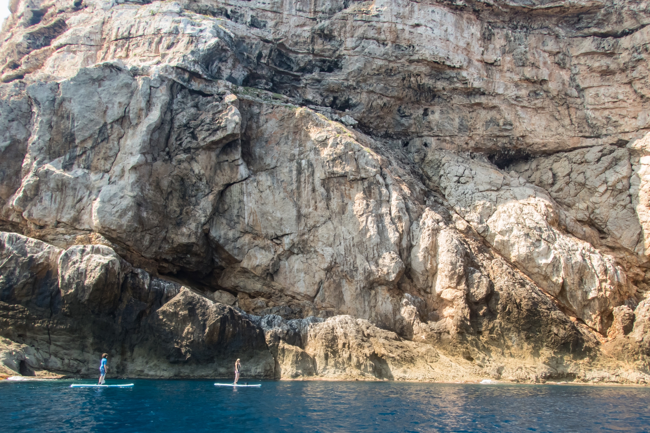
Paddle Boarding off Menorca’s North Coast
“Just wanted to say how impressed I am with the quality of your maps, I use them to navigate our way around coastlines, most recently around some of the awesome north coast of Menorca on Stand Up Paddle Boards, (I guide in both sea kayak and Open canoe too).
Your maps definitely make life easy while afloat …
Oliver”
(Received 24 August 2018)
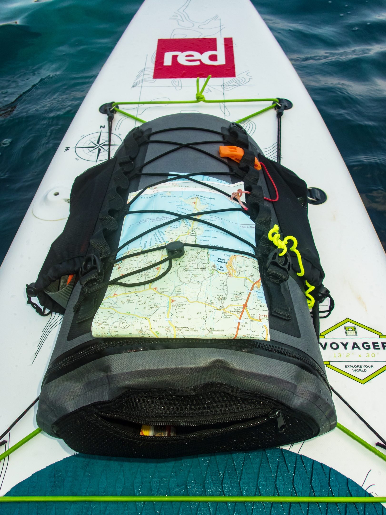
And here’s how to use your Tour & Trail map while paddle boarding.
Thanks Oliver!
You can see that map and many others from Discovery Walking Guides here.
Late summer – perfect for a trip to Ibiza

One of Ibiza’s beautiful coves (on the west coast)
Forget the tabloid image of all-night clubbing, loud music and young visitors in various states of inebriation and undress.
The real Ibiza is a beautiful place, blessed by a wonderful climate with many hours of sunshine each month.
Numerous fine white beaches and little coves tempt the swimmer and sun-worshipper, while walking/biking trails meander through wild flowers underneath a canopy of fragrant pine woods.
A few Ibizan facts:
- Ibiza is one of the Balearic Islands, in the Mediterranean east of the Spanish mainland.
- It’s a naturally beautiful island with white sand beaches, turquoise seas and verdant pine woods, olive groves and wild flowers.
- The island has a long history of invasion by various forces including the Ancient Romans, the Vandas, Byzantines, the Moors, the Norwegians and were finally claimed by Spain. Nowadays, the ‘invaders’ are tourists.
- Ibiza is 572.56 square kilometres (221.07 sq miles) land area.The highest point of the island is Sa Talaiassa, at 475 metres (1,558 ft).
- The population is estimated at approximately 132,500.
- Eivissenc, a dialect of Catalan, is spoken on Ibiza, as is Spanish. English is widely spoken in tourist areas.
- Though renowned for its clubbing scene, there are beautiful beaches, pine woods and walking/biking routes across the island.
Late summer, when most of the tourists have gone and the sun is kind rather than fierce, is a perfect time to explore this gem. Take the best map on your adventures – more info here.
Ibizan sunset
Brecon Beacons – a jewel in Britain’s crown
Today it was announced that the British Government is “looking afresh” at our National Parks which could lead to new additions to the 15 currently designated (the official website is HERE).
In the meantime, I wonder how many of our existing National Parks you’ve visited, and which is your favourite. One of the finest of the existing National Parks (in this author’s opinion) is Brecon Beacons.
Brecon Beacons – on Pen Allt-mawr
Brecon Beacons; Sgwd yr Eira
It’s a beautiful and rewarding place to walk, where high peaks hide glacial lakes in ancient moorland, while man-made reservoirs and canals blend with their natural surroundings, and waterfalls cascade down secret gorges and canals.
Brecon Beacons – Llangattock
Castles, churches and monasteries bear witness to the rich history and heritage that can be experienced while walking in this unique area of natural beauty.
Brecon Beacons – views in all directions
Find out more about the walks in the Brecon Beacons HERE.
Guess The Island

“The steepest island in the world, the deepest crater, the clearest skies: volcanoes you can climb without being shot into orbit; a subtropical forest minus the slimy things slinking up your trouser leg; black beaches, blue seas, high mountains, vegetation that is literally flamboyant, everything linked by 1080 kilometres of waymarked paths, and all virtually untouched by tourism.” (Author/researcher Charles Davis)

More clues? Okay then – it takes under 5 hours to fly there from the UK. It’s a whole lot warmer and sunnier than most of northern Europe, definitely so for more than half the year. Sometimes it is referred to as, ‘La Isla Bonita’.
 So, have you guessed the location of this alluring destination? Check if you are correct, or give in and find out by looking HERE.
Madeira – Garden Isle

Taken by author/researcher Shirley Whitehead – stunning views from Encumeada.
Ah, Madeira! It’s an island that draws visitors back again and again, with its unique plant life, a wide range of wonderful walking from strolls to challenging mountain routes, and a benign climate, making it a year-round destination.
One of the best things about walking here is the sheer variety of routes. If you want gentle, level paths, there are many levada-side routes taking you through lush, natural green scenery. Mountain-lovers have a wealth of inspiring options to choose from. You want views? Wild flowers? Unspoilt villages? Short strolls? Challenging all-day routes? They’re all here.
Madeiran island authorities are well aware of the importance of walking to many of their visitors and do a great job of maintaining routes, keeping them open and safe.

If you’re thinking of a visit to the island, you’ll get much more value from your visit with a good guide book and map in your pocket. Have a look HERE for recommendations.
